Area Overview for SP11 6QE
Photos of SP11 6QE
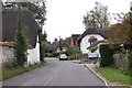
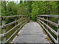
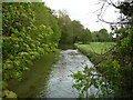

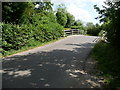
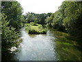
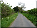
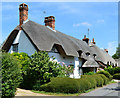
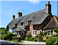
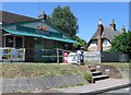
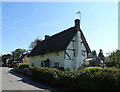
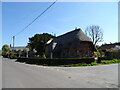
78 photos from this area
Area Information
Key information about the SP11 6QE including its size, population, and administrative classification.
- Area Type
- Postcode
- Area Size
- 15.3 hectares
- Population
- 2288
- Population Density
- 36 people/km²
House Prices in SP11 6QE
9
Properties
£3,056,291
Average Sold Price
£560,000
Lowest Price
£10,000,000
Highest Price
Showing 9 properties
| Address | Type | Beds | Baths | Last Sale Price | Last Sale Date | |
|---|---|---|---|---|---|---|
| The Tile House, Longparish, Andover, SP11 6QE | Detached | 4 | 1 | £805,164 | Dec 2022 | |
| Longparish House, Longparish, Andover, SP11 6QE | Detached | 10 | 10 | £10,000,000 | Mar 2019 | |
| Homecroft, Longparish, Andover, SP11 6QE | house | - | - | £860,000 | Jul 2017 | |
| Vine Cottage, Longparish, Andover, SP11 6QE | house | 3 | - | £560,000 | Jan 2011 | |
| Annexe, Ropers, Longparish, Andover, SP11 6QE | Flat | - | - | - | - | |
| Storage Building At, Longparish Estate, Longparish, Andover, SP11 6QE | Farm | - | - | - | - | |
| Ropers, Longparish, Andover, SP11 6QE | Detached | - | - | - | - | |
| Dairy Cottage, Longparish, Andover, SP11 6QE | Bungalow | - | - | - | - | |
| Yew Cottage, Longparish, Andover, SP11 6QE | Detached | - | - | - | - |
Energy Efficiency in SP11 6QE
Amenities
Schools
| Rank | School | Type | Entry gender | Ages |
|---|
Explore more schools in this area
Go to Schools tabDemographics
Household Size
Two person
most common
Accommodation Type
Houses
most common
Tenure
66
majority
Ethnic Group
White
most common
Religion
N/A
most common
Household Composition
N/A
most common
Age
47
median
Adults (30-64 years)
most common
Household Deprivation
N/A
with no deprivation
NS-SEC
44
in Lower managerial occupations
Explore more demographic insights in this area
Go to Demographics tabPlanning
Planning Constraints
- Flood RiskPremium
- Ramsar Wetland SitesPremium
- Area of Outstanding Natural BeautyPremium
- Protected Nature ReservePremium
- Protected WoodlandPremium