Area Overview for SP11 0SH
Photos of SP11 0SH
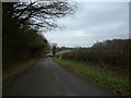
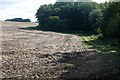
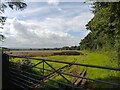
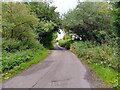
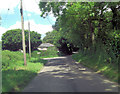
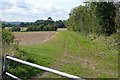
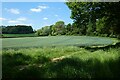
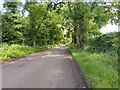
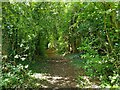
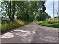
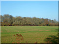
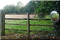
13 photos from this area
Area Information
Key information about the SP11 0SH including its size, population, and administrative classification.
- Area Type
- Postcode
- Area Size
- 1.9 km²
- Population
- 2102
- Population Density
- 32 people/km²
House Prices in SP11 0SH
31
Properties
£979,000
Average Sold Price
£10,000
Lowest Price
£1,550,000
Highest Price
Showing 31 properties
| Address | Type | Beds | Baths | Last Sale Price | Last Sale Date | |
|---|---|---|---|---|---|---|
| Manor Farm Barn, Village Street, Tangley, SP11 0SH | house | - | - | £1,392,500 | Aug 2022 | |
| Rooklands, Clarkes Lane, Tangley, SP11 0SH | house | - | - | £1,500,000 | Jun 2021 | |
| Tangley Mount, Village Street, Tangley, SP11 0SH | Detached | 4 | 3 | £1,550,000 | Jun 2021 | |
| Briar Barn, Village Street, Tangley, SP11 0SH | house | - | - | £1,317,500 | Apr 2021 | |
| The Field House, Tangley Bottom Road, Tangley, SP11 0SH | Detached | - | - | £1,150,000 | Apr 2018 | |
| Fairground Cottage, Tangley Park Lane, Tangley, SP11 0SH | house | - | - | £10,000 | Mar 2018 | |
| Greenhaven, Andover Road, Tangley, Andover, SP11 0SH | Semi-detached | 5 | - | £615,000 | Jan 2018 | |
| Cricketers Cottage, Clarkes Lane, Tangley, SP11 0SH | house | - | - | £400,000 | Mar 2016 | |
| Downlands Farm House, Cow Down Lane, Tangley, SP11 0SH | house | - | - | £930,000 | Nov 2003 | |
| Downlands House, Cow Down Lane, Tangley, SP11 0SH | house | - | - | £925,000 | Dec 2002 |
Page 1 of 4
Energy Efficiency in SP11 0SH
Amenities
Schools
| Rank | School | Type | Entry gender | Ages |
|---|
Explore more schools in this area
Go to Schools tabDemographics
Household Size
Two person
most common
Accommodation Type
Houses
most common
Tenure
70
majority
Ethnic Group
White
most common
Religion
N/A
most common
Household Composition
N/A
most common
Age
47
median
Adults (30-64 years)
most common
Household Deprivation
N/A
with no deprivation
NS-SEC
46
in Lower managerial occupations
Explore more demographic insights in this area
Go to Demographics tabPlanning
Planning Constraints
- Flood RiskPremium
- Ramsar Wetland SitesPremium
- Area of Outstanding Natural BeautyPremium
- Protected Nature ReservePremium
- Protected WoodlandPremium