Area Overview for SP11 0RR
Photos of SP11 0RR
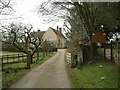
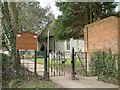
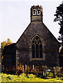
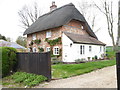
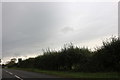
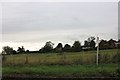
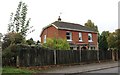
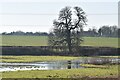
25 photos from this area
Area Information
Key information about the SP11 0RR including its size, population, and administrative classification.
- Area Type
- Postcode
- Area Size
- 59.4 hectares
- Population
- 1662
- Population Density
- 112 people/km²
House Prices in SP11 0RR
24
Properties
£589,214
Average Sold Price
£200,000
Lowest Price
£946,500
Highest Price
Showing 24 properties
| Address | Type | Beds | Baths | Last Sale Price | Last Sale Date | |
|---|---|---|---|---|---|---|
| Bluebell Farm Cottage, Penton Lane, Penton Grafton, SP11 0RR | Detached | 3 | 3 | £795,000 | Oct 2025 | |
| Bourne House, Farm Lane, Penton Grafton, SP11 0RR | house | - | - | £935,000 | Feb 2022 | |
| Mere Cottage, Penton Lane, Penton Grafton, SP11 0RR | house | - | - | £522,500 | Dec 2020 | |
| Flint Cottage, Penton Lane, Penton Grafton, SP11 0RR | house | - | - | £725,000 | Nov 2020 | |
| Glentoran, Penton Lane, Penton Grafton, SP11 0RR | house | - | - | £580,000 | Mar 2017 | |
| Vine Cottage, Penton Lane, Penton Grafton, SP11 0RR | Detached | 3 | - | £720,000 | Aug 2013 | |
| Meadow Croft, Penton Lane, Penton Grafton, SP11 0RR | Detached | 4 | 1 | £325,000 | May 2012 | |
| Penton Garth, Penton Lane, Penton Grafton, SP11 0RR | house | - | - | £405,000 | Nov 2009 | |
| Ridgecombe, Farm Lane, Penton Grafton, SP11 0RR | Detached | - | - | £585,000 | Aug 2007 | |
| Field House, Penton Lane, Penton Grafton, SP11 0RR | Detached | - | - | £946,500 | Nov 2006 |
Page 1 of 3
Energy Efficiency in SP11 0RR
Amenities
Schools
| Rank | School | Type | Entry gender | Ages |
|---|
Explore more schools in this area
Go to Schools tabDemographics
Household Size
Two person
most common
Accommodation Type
Houses
most common
Tenure
73
majority
Ethnic Group
White
most common
Religion
N/A
most common
Household Composition
N/A
most common
Age
47
median
Adults (30-64 years)
most common
Household Deprivation
N/A
with no deprivation
NS-SEC
45
in Lower managerial occupations
Explore more demographic insights in this area
Go to Demographics tabPlanning
Planning Constraints
- Flood RiskPremium
- Ramsar Wetland SitesPremium
- Area of Outstanding Natural BeautyPremium
- Protected Nature ReservePremium
- Protected WoodlandPremium