Area Overview for SP10 4AW
Photos of SP10 4AW
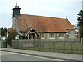
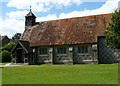
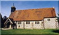
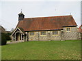
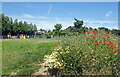
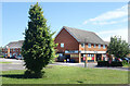
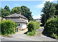
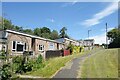
18 photos from this area
Area Information
Key information about the SP10 4AW including its size, population, and administrative classification.
- Area Type
- Postcode
- Area Size
- 12.0 hectares
- Population
- 2121
- Population Density
- 898 people/km²
House Prices in SP10 4AW
30
Properties
£281,083
Average Sold Price
£40,000
Lowest Price
£523,000
Highest Price
Showing 30 properties
| Address | Type | Beds | Baths | Last Sale Price | Last Sale Date | |
|---|---|---|---|---|---|---|
| 83 Hatherden Road, Charlton, SP10 4AW | Semi-detached | 3 | 1 | £390,000 | Apr 2024 | |
| Sundial Cottage, 88 Hatherden Road, Charlton, SP10 4AW | Cottage | 3 | 1 | £500,000 | Jun 2021 | |
| 73 Hatherden Road, Charlton, SP10 4AW | Bungalow | - | - | £295,000 | May 2021 | |
| 82 Hatherden Road, Charlton, SP10 4AW | Semi-detached | 3 | 1 | £280,000 | Feb 2020 | |
| 68 Hatherden Road, Charlton, SP10 4AW | Detached | 2 | - | £232,800 | Jan 2019 | |
| 69 Hatherden Road, Charlton, SP10 4AW | Detached | 5 | 2 | £523,000 | Nov 2018 | |
| Springfield, Hatherden Road, Charlton, SP10 4AW | Bungalow | 4 | 4 | £345,000 | Feb 2017 | |
| 70-71 Hatherden Road, Charlton, SP10 4AW | Detached | 2 | - | £220,000 | Nov 2013 | |
| Five Pots, 79 Hatherden Road, Charlton, SP10 4AW | Bungalow | 4 | - | £372,450 | Oct 2011 | |
| 74 Hatherden Road, Charlton, SP10 4AW | Semi-detached | - | - | £155,000 | Oct 2008 |
Page 1 of 3
Energy Efficiency in SP10 4AW
Amenities
Schools
| Rank | School | Type | Entry gender | Ages |
|---|
Explore more schools in this area
Go to Schools tabDemographics
Household Size
Two person
most common
Accommodation Type
Houses
most common
Tenure
84
majority
Ethnic Group
White
most common
Religion
N/A
most common
Household Composition
N/A
most common
Age
47
median
Adults (30-64 years)
most common
Household Deprivation
N/A
with no deprivation
NS-SEC
40
in Lower managerial occupations
Explore more demographic insights in this area
Go to Demographics tabPlanning
Planning Constraints
- Flood RiskPremium
- Ramsar Wetland SitesPremium
- Area of Outstanding Natural BeautyPremium
- Protected Nature ReservePremium
- Protected WoodlandPremium