Area Overview for SP10 2AA
Photos of SP10 2AA

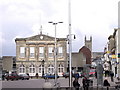
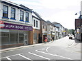
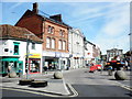

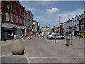
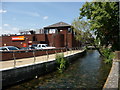
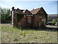
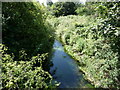
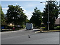
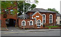
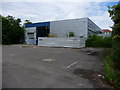
100 photos from this area
Area Information
Key information about the SP10 2AA including its size, population, and administrative classification.
- Area Type
- Postcode
- Area Size
- 8177 m²
- Population
- 1901
- Population Density
- 3347 people/km²
House Prices in SP10 2AA
18
Properties
£227,272
Average Sold Price
£149,000
Lowest Price
£316,800
Highest Price
Showing 18 properties
| Address | Type | Beds | Baths | Last Sale Price | Last Sale Date | |
|---|---|---|---|---|---|---|
| 6 Dene Road, Andover, SP10 2AA | Cottage | 2 | 1 | £270,000 | Mar 2023 | |
| 11A Dene Road, Andover, SP10 2AA | Retail | 2 | 1 | £260,000 | Oct 2022 | |
| 9 Dene Road, Andover, SP10 2AA | Retail | 2 | 1 | £210,000 | Jul 2022 | |
| 3 Dene Road, Andover, SP10 2AA | Terraced | 3 | 2 | £200,000 | Oct 2020 | |
| 21 Dene Road, Andover, SP10 2AA | Bungalow | 3 | 3 | £306,000 | Sep 2020 | |
| 10 Dene Road, Andover, SP10 2AA | Semi-detached | 3 | 1 | £316,800 | May 2019 | |
| Iduno Cottage, 1 Dene Road, Andover, SP10 2AA | Detached | 3 | 1 | £195,740 | Nov 2014 | |
| 5 Dene Road, Andover, SP10 2AA | house | - | - | £157,000 | Oct 2011 | |
| Wycollar, 6A Dene Road, Andover, SP10 2AA | Bungalow | - | - | £170,000 | May 2009 | |
| 19 Dene Road, Andover, SP10 2AA | Bungalow | - | - | £215,000 | May 2008 |
Page 1 of 2
Energy Efficiency in SP10 2AA
Amenities
Schools
| Rank | School | Type | Entry gender | Ages |
|---|
Explore more schools in this area
Go to Schools tabDemographics
Household Size
One person
most common
Accommodation Type
Houses
most common
Tenure
52
majority
Ethnic Group
White
most common
Religion
N/A
most common
Household Composition
N/A
most common
Age
47
median
Adults (30-64 years)
most common
Household Deprivation
N/A
with no deprivation
NS-SEC
28
in Lower managerial occupations
Explore more demographic insights in this area
Go to Demographics tabPlanning
Planning Constraints
- Flood RiskPremium
- Ramsar Wetland SitesPremium
- Area of Outstanding Natural BeautyPremium
- Protected Nature ReservePremium
- Protected WoodlandPremium