Area Overview for SP10 1HW
Photos of SP10 1HW
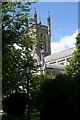
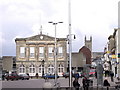
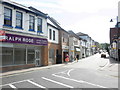
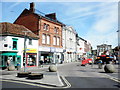
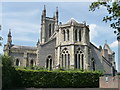
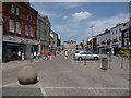
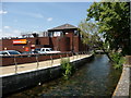
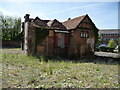
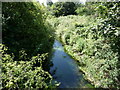
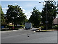
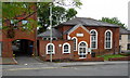
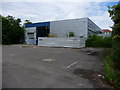
100 photos from this area
Area Information
Key information about the SP10 1HW including its size, population, and administrative classification.
- Area Type
- Postcode
- Area Size
- 1.9 hectares
- Population
- 1422
- Population Density
- 3949 people/km²
House Prices in SP10 1HW
67
Properties
£190,953
Average Sold Price
£52,500
Lowest Price
£301,000
Highest Price
Showing 67 properties
| Address | Type | Beds | Baths | Last Sale Price | Last Sale Date | |
|---|---|---|---|---|---|---|
| 135 Vigo Road, Andover, SP10 1HW | Semi-detached | 2 | 2 | £280,000 | Oct 2025 | |
| 103 Vigo Road, Andover, SP10 1HW | Detached | 3 | 1 | £301,000 | Dec 2024 | |
| 123 Vigo Road, Andover, SP10 1HW | house | 2 | 1 | £269,950 | Sep 2024 | |
| 16 Vigo Road, Andover, SP10 1HW | house | 2 | 1 | £180,000 | Aug 2024 | |
| 125 Vigo Road, Andover, SP10 1HW | Terraced | 3 | 1 | £285,000 | Apr 2024 | |
| 143 Vigo Road, Andover, SP10 1HW | Terraced | 2 | 1 | £259,000 | Dec 2023 | |
| 161 Vigo Road, Andover, SP10 1HW | house | - | - | £225,000 | Aug 2023 | |
| 159 Vigo Road, Andover, SP10 1HW | house | 2 | 1 | £242,500 | Jun 2023 | |
| 119 Vigo Road, Andover, SP10 1HW | house | 3 | 1 | £240,000 | Jan 2023 | |
| 26 Vigo Road, Andover, SP10 1HW | Terraced | 3 | 1 | £260,000 | Oct 2022 |
Page 1 of 7
Energy Efficiency in SP10 1HW
Amenities
Schools
| Rank | School | Type | Entry gender | Ages |
|---|
Explore more schools in this area
Go to Schools tabDemographics
Household Size
Two person
most common
Accommodation Type
Houses
most common
Tenure
78
majority
Ethnic Group
White
most common
Religion
N/A
most common
Household Composition
N/A
most common
Age
47
median
Adults (30-64 years)
most common
Household Deprivation
N/A
with no deprivation
NS-SEC
29
in Lower managerial occupations
Explore more demographic insights in this area
Go to Demographics tabPlanning
Planning Constraints
- Flood RiskPremium
- Ramsar Wetland SitesPremium
- Area of Outstanding Natural BeautyPremium
- Protected Nature ReservePremium
- Protected WoodlandPremium