Area Overview for SO53 5NN
Photos of SO53 5NN
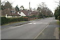
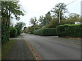
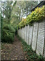
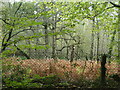
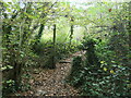
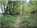
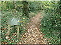
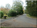
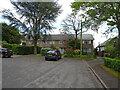
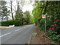
25 photos from this area
Area Information
Key information about the SO53 5NN including its size, population, and administrative classification.
- Area Type
- Postcode
- Area Size
- 1.3 hectares
- Population
- 1771
- Population Density
- 3679 people/km²
House Prices in SO53 5NN
30
Properties
£145,678
Average Sold Price
£52,500
Lowest Price
£215,000
Highest Price
Showing 30 properties
| Address | Type | Beds | Baths | Last Sale Price | Last Sale Date | |
|---|---|---|---|---|---|---|
| 208 Hiltingbury Road, Chandlers Ford, SO53 5NN | Flat | 2 | 1 | £205,000 | Apr 2023 | |
| 230 Hiltingbury Road, Chandlers Ford, SO53 5NN | Flat | 2 | 1 | £215,000 | Jun 2021 | |
| 210 Hiltingbury Road, Chandlers Ford, SO53 5NN | Flat | - | - | £197,000 | Feb 2021 | |
| 216 Hiltingbury Road, Chandlers Ford, SO53 5NN | Flat | 2 | 1 | £180,000 | Dec 2017 | |
| 200 Hiltingbury Road, Chandlers Ford, SO53 5NN | Maisonette | - | - | £185,000 | Aug 2017 | |
| 204 Hiltingbury Road, Chandlers Ford, SO53 5NN | Flat | 2 | 1 | £145,000 | Jun 2013 | |
| 218 Hiltingbury Road, Chandlers Ford, SO53 5NN | Flat | 2 | 1 | £148,000 | Jul 2011 | |
| 198 Hiltingbury Road, Chandlers Ford, SO53 5NN | Flat | - | - | £137,000 | Dec 2009 | |
| 212 Hiltingbury Road, Chandlers Ford, SO53 5NN | Maisonette | 2 | 1 | £151,000 | Sep 2007 | |
| 224 Hiltingbury Road, Chandlers Ford, SO53 5NN | Flat | - | - | £139,000 | Jan 2007 |
Page 1 of 3
Energy Efficiency in SO53 5NN
Amenities
Schools
| Rank | School | Type | Entry gender | Ages |
|---|
Explore more schools in this area
Go to Schools tabDemographics
Household Size
Family (3-5 people)
most common
Accommodation Type
Houses
most common
Tenure
78
majority
Ethnic Group
White
most common
Religion
N/A
most common
Household Composition
N/A
most common
Age
47
median
Adults (30-64 years)
most common
Household Deprivation
N/A
with no deprivation
NS-SEC
49
in Lower managerial occupations
Explore more demographic insights in this area
Go to Demographics tabPlanning
Planning Constraints
- Flood RiskPremium
- Ramsar Wetland SitesPremium
- Area of Outstanding Natural BeautyPremium
- Protected Nature ReservePremium
- Protected WoodlandPremium