Area Overview for SO53 4TT
Photos of SO53 4TT
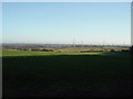
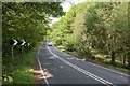
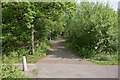
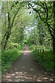
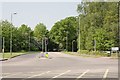
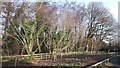
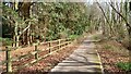
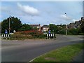
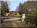
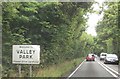
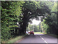
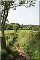
20 photos from this area
Area Information
Key information about the SO53 4TT including its size, population, and administrative classification.
- Area Type
- Postcode
- Area Size
- 1.1 hectares
- Population
- 1284
- Population Density
- 2753 people/km²
House Prices in SO53 4TT
33
Properties
£214,035
Average Sold Price
£83,995
Lowest Price
£415,000
Highest Price
Showing 33 properties
| Address | Type | Beds | Baths | Last Sale Price | Last Sale Date | |
|---|---|---|---|---|---|---|
| 14 Tristram Close, Chandlers Ford, SO53 4TT | Terraced | 3 | 3 | £290,000 | Dec 2023 | |
| 4 Tristram Close, Chandlers Ford, SO53 4TT | Maisonette | 2 | 1 | £220,000 | Oct 2023 | |
| 10 Tristram Close, Chandlers Ford, SO53 4TT | house | - | - | £415,000 | Oct 2022 | |
| 30 Tristram Close, Chandlers Ford, SO53 4TT | house | 3 | 1 | £389,000 | Jun 2022 | |
| 1 Tristram Close, Chandlers Ford, SO53 4TT | Terraced | 3 | 2 | £350,000 | Jun 2021 | |
| 21 Tristram Close, Chandlers Ford, SO53 4TT | house | - | - | £375,000 | Mar 2021 | |
| 31 Tristram Close, Chandlers Ford, SO53 4TT | Terraced | 2 | 1 | £246,000 | Feb 2021 | |
| 15 Tristram Close, Chandlers Ford, SO53 4TT | Terraced | 3 | 2 | £310,000 | Aug 2020 | |
| 29 Tristram Close, Chandlers Ford, SO53 4TT | house | 3 | - | £325,000 | Aug 2020 | |
| 2 Tristram Close, Chandlers Ford, SO53 4TT | Terraced | 2 | - | £255,000 | Feb 2019 |
Page 1 of 4
Energy Efficiency in SO53 4TT
Amenities
Schools
| Rank | School | Type | Entry gender | Ages |
|---|
Explore more schools in this area
Go to Schools tabDemographics
Household Size
Family (3-5 people)
most common
Accommodation Type
Houses
most common
Tenure
84
majority
Ethnic Group
White
most common
Religion
N/A
most common
Household Composition
N/A
most common
Age
47
median
Adults (30-64 years)
most common
Household Deprivation
N/A
with no deprivation
NS-SEC
54
in Lower managerial occupations
Explore more demographic insights in this area
Go to Demographics tabPlanning
Planning Constraints
- Flood RiskPremium
- Ramsar Wetland SitesPremium
- Area of Outstanding Natural BeautyPremium
- Protected Nature ReservePremium
- Protected WoodlandPremium