Area Overview for SO53 4LL
Photos of SO53 4LL
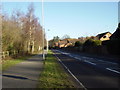
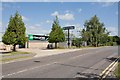
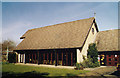
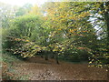
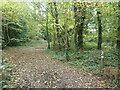
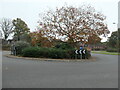
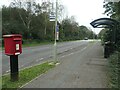
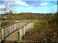
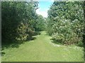
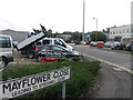
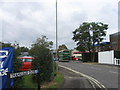
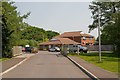
37 photos from this area
Area Information
Key information about the SO53 4LL including its size, population, and administrative classification.
- Area Type
- Postcode
- Area Size
- 7149 m²
- Population
- 1487
- Population Density
- 2965 people/km²
House Prices in SO53 4LL
17
Properties
£251,103
Average Sold Price
£102,950
Lowest Price
£690,000
Highest Price
Showing 17 properties
| Address | Type | Beds | Baths | Last Sale Price | Last Sale Date | |
|---|---|---|---|---|---|---|
| 6 Poppyfields, Chandlers Ford, SO53 4LL | Detached | 6 | 3 | £690,000 | Feb 2021 | |
| 2 Poppyfields, Chandlers Ford, SO53 4LL | Detached | 3 | 2 | £392,500 | Jul 2017 | |
| 15 Poppyfields, Chandlers Ford, SO53 4LL | house | - | - | £350,000 | Sep 2012 | |
| 1 Poppyfields, Chandlers Ford, SO53 4LL | house | 6 | - | £480,000 | Dec 2011 | |
| 10 Poppyfields, Chandlers Ford, SO53 4LL | Detached | - | - | £233,000 | Mar 2009 | |
| 4 Poppyfields, Chandlers Ford, SO53 4LL | Detached | 3 | 2 | £294,950 | Jul 2007 | |
| 16 Poppyfields, Chandlers Ford, SO53 4LL | Detached | - | - | £275,000 | Apr 2007 | |
| 8 Poppyfields, Chandlers Ford, SO53 4LL | Detached | - | - | £227,500 | Dec 2004 | |
| 3 Poppyfields, Chandlers Ford, SO53 4LL | Detached | - | - | £158,000 | Aug 2001 | |
| 5 Poppyfields, Chandlers Ford, SO53 4LL | Detached | - | - | £187,500 | Jun 2000 |
Page 1 of 2
Energy Efficiency in SO53 4LL
Amenities
Schools
| Rank | School | Type | Entry gender | Ages |
|---|
Explore more schools in this area
Go to Schools tabDemographics
Household Size
Family (3-5 people)
most common
Accommodation Type
Houses
most common
Tenure
90
majority
Ethnic Group
White
most common
Religion
N/A
most common
Household Composition
N/A
most common
Age
47
median
Adults (30-64 years)
most common
Household Deprivation
N/A
with no deprivation
NS-SEC
54
in Lower managerial occupations
Explore more demographic insights in this area
Go to Demographics tabPlanning
Planning Constraints
- Flood RiskPremium
- Ramsar Wetland SitesPremium
- Area of Outstanding Natural BeautyPremium
- Protected Nature ReservePremium
- Protected WoodlandPremium