Area Overview for SO53 3PP
Photos of SO53 3PP
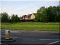

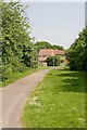

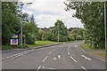

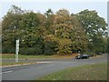
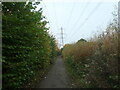

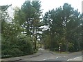
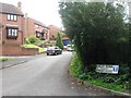
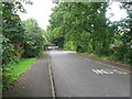
33 photos from this area
Area Information
Key information about the SO53 3PP including its size, population, and administrative classification.
- Area Type
- Postcode
- Area Size
- 4081 m²
- Population
- 1282
- Population Density
- 4365 people/km²
House Prices in SO53 3PP
12
Properties
£231,579
Average Sold Price
£70,000
Lowest Price
£535,000
Highest Price
Showing 12 properties
| Address | Type | Beds | Baths | Last Sale Price | Last Sale Date | |
|---|---|---|---|---|---|---|
| 3 Warblington Close, Chandlers Ford, SO53 3PP | Terraced | 2 | 1 | £278,000 | Jun 2025 | |
| 1 Warblington Close, Chandlers Ford, SO53 3PP | Terraced | 2 | 1 | £535,000 | Jan 2025 | |
| 8 Warblington Close, Chandlers Ford, SO53 3PP | house | - | - | £390,000 | Oct 2017 | |
| 6 Warblington Close, Chandlers Ford, SO53 3PP | house | 1 | 1 | £156,500 | Nov 2015 | |
| 7 Warblington Close, Chandlers Ford, SO53 3PP | Detached | 4 | 2 | £370,000 | Aug 2015 | |
| 10 Warblington Close, Chandlers Ford, SO53 3PP | Terraced | 2 | 1 | £177,500 | Jun 2013 | |
| 2 Warblington Close, Chandlers Ford, SO53 3PP | Terraced | 2 | 1 | £173,000 | May 2013 | |
| 9 Warblington Close, Chandlers Ford, SO53 3PP | house | 2 | - | £187,000 | Jul 2010 | |
| 5 Warblington Close, Chandlers Ford, SO53 3PP | Terraced | - | - | £150,000 | Jun 2008 | |
| 11 Warblington Close, Chandlers Ford, SO53 3PP | Terraced | 2 | 1 | £179,950 | Sep 2007 |
Page 1 of 2
Energy Efficiency in SO53 3PP
Amenities
Schools
| Rank | School | Type | Entry gender | Ages |
|---|
Explore more schools in this area
Go to Schools tabDemographics
Household Size
Two person
most common
Accommodation Type
Houses
most common
Tenure
86
majority
Ethnic Group
White
most common
Religion
N/A
most common
Household Composition
N/A
most common
Age
47
median
Adults (30-64 years)
most common
Household Deprivation
N/A
with no deprivation
NS-SEC
46
in Lower managerial occupations
Explore more demographic insights in this area
Go to Demographics tabPlanning
Planning Constraints
- Flood RiskPremium
- Ramsar Wetland SitesPremium
- Area of Outstanding Natural BeautyPremium
- Protected Nature ReservePremium
- Protected WoodlandPremium