Area Overview for SO53 2JB
Photos of SO53 2JB
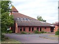
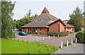
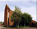
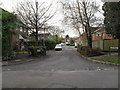
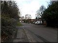
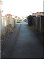
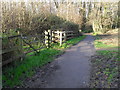
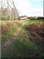
100 photos from this area
Area Information
Key information about the SO53 2JB including its size, population, and administrative classification.
- Area Type
- Postcode
- Area Size
- 3406 m²
- Population
- 1526
- Population Density
- 4754 people/km²
House Prices in SO53 2JB
10
Properties
£225,000
Average Sold Price
£60,000
Lowest Price
£325,000
Highest Price
Showing 10 properties
| Address | Type | Beds | Baths | Last Sale Price | Last Sale Date | |
|---|---|---|---|---|---|---|
| 178 Bodycoats Road, Chandlers Ford, SO53 2JB | house | - | - | £325,000 | Jun 2021 | |
| 186 Bodycoats Road, Chandlers Ford, SO53 2JB | Semi-detached | 3 | - | £282,000 | Jun 2019 | |
| 172 Bodycoats Road, Chandlers Ford, SO53 2JB | house | 3 | - | £285,000 | Dec 2018 | |
| 188 Bodycoats Road, Chandlers Ford, SO53 2JB | Semi-detached | 3 | 2 | £265,000 | Nov 2017 | |
| 176 Bodycoats Road, Chandlers Ford, SO53 2JB | Semi-detached | - | - | £208,000 | Jul 2007 | |
| 190 Bodycoats Road, Chandlers Ford, SO53 2JB | house | - | - | £150,000 | Feb 2006 | |
| 180 Bodycoats Road, Chandlers Ford, SO53 2JB | Semi-detached | - | - | £60,000 | Oct 1995 | |
| 182 Bodycoats Road, Chandlers Ford, SO53 2JB | Semi-detached | 3 | 1 | - | - | |
| 184 Bodycoats Road, Chandlers Ford, SO53 2JB | Semi-detached | 3 | 1 | - | - | |
| 174 Bodycoats Road, Chandlers Ford, SO53 2JB | Semi-detached | 3 | 1 | - | - |
Energy Efficiency in SO53 2JB
Amenities
Schools
| Rank | School | Type | Entry gender | Ages |
|---|
Explore more schools in this area
Go to Schools tabDemographics
Household Size
Family (3-5 people)
most common
Accommodation Type
Houses
most common
Tenure
88
majority
Ethnic Group
White
most common
Religion
N/A
most common
Household Composition
N/A
most common
Age
47
median
Adults (30-64 years)
most common
Household Deprivation
N/A
with no deprivation
NS-SEC
37
in Lower managerial occupations
Explore more demographic insights in this area
Go to Demographics tabPlanning
Planning Constraints
- Flood RiskPremium
- Ramsar Wetland SitesPremium
- Area of Outstanding Natural BeautyPremium
- Protected Nature ReservePremium
- Protected WoodlandPremium