Area Overview for SO53 2EN
Photos of SO53 2EN
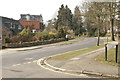
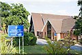
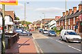
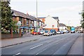
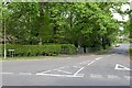
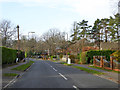
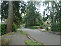
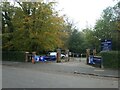
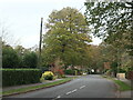
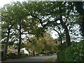
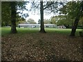
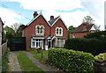
21 photos from this area
Area Information
Key information about the SO53 2EN including its size, population, and administrative classification.
- Area Type
- Postcode
- Area Size
- 1.5 hectares
- Population
- 1681
- Population Density
- 3707 people/km²
House Prices in SO53 2EN
28
Properties
£311,628
Average Sold Price
£150,000
Lowest Price
£465,000
Highest Price
Showing 28 properties
| Address | Type | Beds | Baths | Last Sale Price | Last Sale Date | |
|---|---|---|---|---|---|---|
| 25 Parkway Gardens, Chandlers Ford, SO53 2EN | Detached | 4 | 1 | £452,500 | Nov 2024 | |
| 16 Parkway Gardens, Chandlers Ford, SO53 2EN | house | - | - | £425,000 | Mar 2022 | |
| 26 Parkway Gardens, Chandlers Ford, SO53 2EN | house | - | - | £459,000 | Nov 2021 | |
| 17 Parkway Gardens, Chandlers Ford, SO53 2EN | house | - | - | £384,600 | Apr 2021 | |
| 14 Parkway Gardens, Chandlers Ford, SO53 2EN | house | - | - | £465,000 | May 2019 | |
| 15 Parkway Gardens, Chandlers Ford, SO53 2EN | Detached | 3 | 1 | £410,000 | Mar 2019 | |
| 5 Parkway Gardens, Chandlers Ford, SO53 2EN | house | - | - | £279,000 | Nov 2012 | |
| 24 Parkway Gardens, Chandlers Ford, SO53 2EN | Bungalow | - | - | £290,000 | Nov 2012 | |
| 1 Parkway Gardens, Chandlers Ford, SO53 2EN | Detached | 3 | 1 | £265,000 | Jul 2011 | |
| 19 Parkway Gardens, Chandlers Ford, SO53 2EN | house | - | - | £242,000 | Apr 2011 |
Page 1 of 3
Energy Efficiency in SO53 2EN
Amenities
Schools
| Rank | School | Type | Entry gender | Ages |
|---|
Explore more schools in this area
Go to Schools tabDemographics
Household Size
Two person
most common
Accommodation Type
Houses
most common
Tenure
83
majority
Ethnic Group
White
most common
Religion
N/A
most common
Household Composition
N/A
most common
Age
47
median
Adults (30-64 years)
most common
Household Deprivation
N/A
with no deprivation
NS-SEC
41
in Lower managerial occupations
Explore more demographic insights in this area
Go to Demographics tabPlanning
Planning Constraints
- Flood RiskPremium
- Ramsar Wetland SitesPremium
- Area of Outstanding Natural BeautyPremium
- Protected Nature ReservePremium
- Protected WoodlandPremium