Area Overview for SO53 1JU
Photos of SO53 1JU
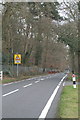
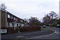
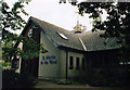
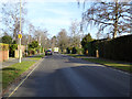
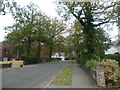
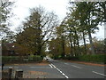
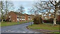
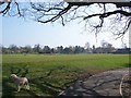
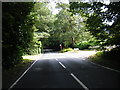
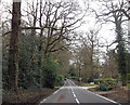
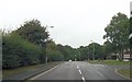
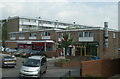
18 photos from this area
Area Information
Key information about the SO53 1JU including its size, population, and administrative classification.
- Area Type
- Postcode
- Area Size
- 1.2 hectares
- Population
- 1939
- Population Density
- 2913 people/km²
House Prices in SO53 1JU
20
Properties
£585,630
Average Sold Price
£337,500
Lowest Price
£1,150,000
Highest Price
Showing 20 properties
| Address | Type | Beds | Baths | Last Sale Price | Last Sale Date | |
|---|---|---|---|---|---|---|
| 55 Pine Road, Chandlers Ford, SO53 1JU | house | 5 | - | £900,600 | Jun 2021 | |
| 47 Pine Road, Chandlers Ford, SO53 1JU | house | - | - | £1,150,000 | Jun 2021 | |
| 59 Pine Road, Chandlers Ford, SO53 1JU | house | - | - | £625,000 | Sep 2019 | |
| 73 Pine Road, Chandlers Ford, SO53 1JU | Detached | 5 | - | £741,500 | Oct 2016 | |
| 61 Pine Road, Chandlers Ford, SO53 1JU | Detached | 5 | 3 | £692,000 | Sep 2015 | |
| 75 Pine Road, Chandlers Ford, SO53 1JU | Detached | 6 | 3 | £568,000 | May 2015 | |
| 57 Pine Road, Chandlers Ford, SO53 1JU | Detached | 4 | - | £565,000 | Sep 2014 | |
| 81 Pine Road, Chandlers Ford, SO53 1JU | Detached | 6 | - | £675,000 | Jun 2014 | |
| 51 Pine Road, Chandlers Ford, SO53 1JU | house | 3 | - | £337,500 | Jul 2011 | |
| 67 Pine Road, Chandlers Ford, SO53 1JU | Detached | - | - | £513,000 | Aug 2006 |
Page 1 of 2
Energy Efficiency in SO53 1JU
Amenities
Schools
| Rank | School | Type | Entry gender | Ages |
|---|
Explore more schools in this area
Go to Schools tabDemographics
Household Size
Family (3-5 people)
most common
Accommodation Type
Houses
most common
Tenure
90
majority
Ethnic Group
White
most common
Religion
N/A
most common
Household Composition
N/A
most common
Age
47
median
Adults (30-64 years)
most common
Household Deprivation
N/A
with no deprivation
NS-SEC
55
in Lower managerial occupations
Explore more demographic insights in this area
Go to Demographics tabPlanning
Planning Constraints
- Flood RiskPremium
- Ramsar Wetland SitesPremium
- Area of Outstanding Natural BeautyPremium
- Protected Nature ReservePremium
- Protected WoodlandPremium