Area Overview for SO51 5AG
Photos of SO51 5AG
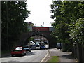
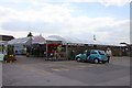
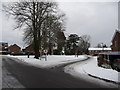
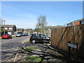
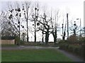
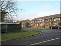
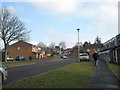
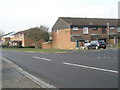
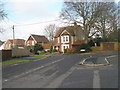
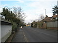
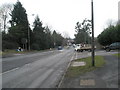
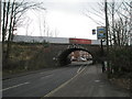
100 photos from this area
Area Information
Key information about the SO51 5AG including its size, population, and administrative classification.
- Area Type
- Postcode
- Area Size
- 7846 m²
- Population
- 1683
- Population Density
- 4105 people/km²
House Prices in SO51 5AG
23
Properties
£209,379
Average Sold Price
£60,000
Lowest Price
£325,000
Highest Price
Showing 23 properties
| Address | Type | Beds | Baths | Last Sale Price | Last Sale Date | |
|---|---|---|---|---|---|---|
| 9 Botley Road, Romsey, SO51 5AG | Semi-detached | 3 | 1 | £325,000 | Jun 2025 | |
| 11 Botley Road, Romsey, SO51 5AG | Terraced | 2 | 1 | £325,000 | Apr 2023 | |
| 33 Botley Road, Romsey, SO51 5AG | Terraced | 3 | 2 | £310,000 | Nov 2021 | |
| 45 Botley Road, Romsey, SO51 5AG | Semi-detached | 2 | 1 | £215,000 | Jul 2020 | |
| Railway Cottage, 41 Botley Road, Romsey, SO51 5AG | house | - | - | £227,000 | Feb 2020 | |
| 43 Botley Road, Romsey, SO51 5AG | Semi-detached | 3 | 1 | £252,500 | Aug 2018 | |
| 37 Botley Road, Romsey, SO51 5AG | house | - | - | £238,000 | Apr 2018 | |
| 35 Botley Road, Romsey, SO51 5AG | Terraced | 2 | - | £222,500 | Apr 2018 | |
| 13 Botley Road, Romsey, SO51 5AG | house | 2 | - | £245,000 | Nov 2017 | |
| 19 Botley Road, Romsey, SO51 5AG | Terraced | 3 | - | £176,000 | Mar 2015 |
Page 1 of 3
Energy Efficiency in SO51 5AG
Amenities
Schools
| Rank | School | Type | Entry gender | Ages |
|---|
Explore more schools in this area
Go to Schools tabDemographics
Household Size
One person
most common
Accommodation Type
Houses
most common
Tenure
67
majority
Ethnic Group
White
most common
Religion
N/A
most common
Household Composition
N/A
most common
Age
47
median
Adults (30-64 years)
most common
Household Deprivation
N/A
with no deprivation
NS-SEC
40
in Lower managerial occupations
Explore more demographic insights in this area
Go to Demographics tabPlanning
Planning Constraints
- Flood RiskPremium
- Ramsar Wetland SitesPremium
- Area of Outstanding Natural BeautyPremium
- Protected Nature ReservePremium
- Protected WoodlandPremium