Area Overview for SO51 0PF
Photos of SO51 0PF
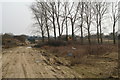
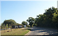
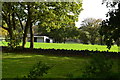
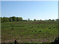
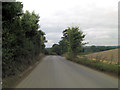
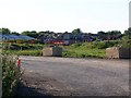
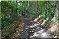
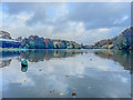
17 photos from this area
Area Information
Key information about the SO51 0PF including its size, population, and administrative classification.
- Area Type
- Postcode
- Area Size
- 25.4 hectares
- Population
- 1425
- Population Density
- 30 people/km²
House Prices in SO51 0PF
14
Properties
£808,740
Average Sold Price
£480,000
Lowest Price
£1,230,000
Highest Price
Showing 14 properties
| Address | Type | Beds | Baths | Last Sale Price | Last Sale Date | |
|---|---|---|---|---|---|---|
| Woodcot, Yokesford Hill, Romsey, SO51 0PF | Bungalow | 2 | - | £518,700 | Jun 2024 | |
| Yokesford, Yokesford Hill, Romsey, SO51 0PF | Detached | 2 | 3 | £1,050,000 | Sep 2022 | |
| Greenbank, Yokesford Hill, Romsey, SO51 0PF | Detached | 5 | 2 | £765,000 | Jul 2020 | |
| Brook House, Yokesford Hill, Romsey, SO51 0PF | Detached | 6 | 3 | £1,230,000 | Jan 2016 | |
| Sylvan, Yokesford Hill, Romsey, SO51 0PF | Detached | - | - | £480,000 | Aug 2004 | |
| Nissan Hut, Yokesford Hill Estate, Yokesford Hill, Romsey, SO51 0PF | warehouse | - | - | - | - | |
| Building 3, Yokesford Hill Estate, Yokesford Hill, Romsey, SO51 0PF | warehouse | - | - | - | - | |
| 1, Hope Cottages, Yokesford Hill, Romsey, SO51 0PF | Semi-detached | 2 | - | - | - | |
| Brook Farm, Yokesford Hill, Romsey, SO51 0PF | Detached | - | - | - | - | |
| 1, Brook Dairy Cottages, Yokesford Hill, Romsey, SO51 0PF | Semi-detached | - | - | - | - |
Page 1 of 2
Energy Efficiency in SO51 0PF
Amenities
Schools
| Rank | School | Type | Entry gender | Ages |
|---|
Explore more schools in this area
Go to Schools tabDemographics
Household Size
Two person
most common
Accommodation Type
Houses
most common
Tenure
73
majority
Ethnic Group
White
most common
Religion
N/A
most common
Household Composition
N/A
most common
Age
47
median
Adults (30-64 years)
most common
Household Deprivation
N/A
with no deprivation
NS-SEC
49
in Lower managerial occupations
Explore more demographic insights in this area
Go to Demographics tabPlanning
Planning Constraints
- Flood RiskPremium
- Ramsar Wetland SitesPremium
- Area of Outstanding Natural BeautyPremium
- Protected Nature ReservePremium
- Protected WoodlandPremium