Area Overview for SO51 0HE
Photos of SO51 0HE
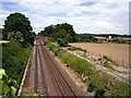

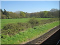
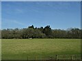

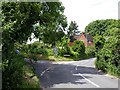
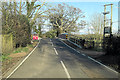
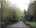
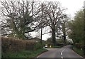
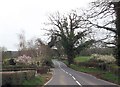
11 photos from this area
Area Information
Key information about the SO51 0HE including its size, population, and administrative classification.
- Area Type
- Postcode
- Area Size
- 1.1 km²
- Population
- 1532
- Population Density
- 56 people/km²
House Prices in SO51 0HE
19
Properties
£588,500
Average Sold Price
£487,000
Lowest Price
£690,000
Highest Price
Showing 19 properties
| Address | Type | Beds | Baths | Last Sale Price | Last Sale Date | |
|---|---|---|---|---|---|---|
| Appletree Cottage, Stanbridge Lane, Awbridge, SO51 0HE | house | 3 | - | £690,000 | Mar 2014 | |
| The Little House, Stanbridge Lane, Awbridge, SO51 0HE | house | - | - | £487,000 | Jun 2009 | |
| Chapel Mead, Awbridge Hill, Awbridge, SO51 0HE | Cottage | 2 | 1 | - | - | |
| Goulds, Stanbridge Earls School, Stanbridge Lane, Awbridge, SO51 0HE | Detached | - | - | - | - | |
| Matrons Flat Goulds, Stanbridge Earls School, Stanbridge Lane, Awbridge, SO51 0HE | Flat | - | - | - | - | |
| Parsonage House, Cooks Lane, Awbridge, SO51 0HE | undefined | - | - | - | - | |
| Chances Gives Choices Ltd, Suite 2, Lone Barn Studio, Stanbridge Lane, Awbridge, SO51 0HE | Office | - | - | - | - | |
| Lone Barn Photography, Suite 1, Lone Barn Studio, Stanbridge Lane, Awbridge, SO51 0HE | Office | - | - | - | - | |
| Suite 3, Lone Barn Studio, Stanbridge Lane, Awbridge, SO51 0HE | Office | - | - | - | - | |
| 2, Batts Cottages, Stanbridge Lane, Awbridge, SO51 0HE | Flat | - | - | - | - |
Page 1 of 2
Energy Efficiency in SO51 0HE
Amenities
Schools
| Rank | School | Type | Entry gender | Ages |
|---|
Explore more schools in this area
Go to Schools tabDemographics
Household Size
Two person
most common
Accommodation Type
Houses
most common
Tenure
74
majority
Ethnic Group
White
most common
Religion
N/A
most common
Household Composition
N/A
most common
Age
47
median
Adults (30-64 years)
most common
Household Deprivation
N/A
with no deprivation
NS-SEC
53
in Lower managerial occupations
Explore more demographic insights in this area
Go to Demographics tabPlanning
Planning Constraints
- Flood RiskPremium
- Ramsar Wetland SitesPremium
- Area of Outstanding Natural BeautyPremium
- Protected Nature ReservePremium
- Protected WoodlandPremium