Area Overview for SO51 0DP
Photos of SO51 0DP

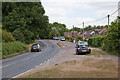
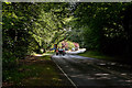
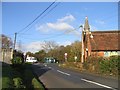
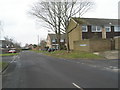
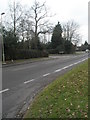
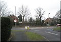
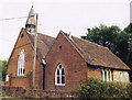
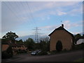
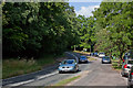
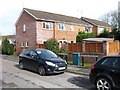
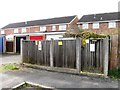
69 photos from this area
Area Information
Key information about the SO51 0DP including its size, population, and administrative classification.
- Area Type
- Postcode
- Area Size
- 8.7 hectares
- Population
- 1610
- Population Density
- 1054 people/km²
House Prices in SO51 0DP
24
Properties
£560,150
Average Sold Price
£407,500
Lowest Price
£689,000
Highest Price
Showing 24 properties
| Address | Type | Beds | Baths | Last Sale Price | Last Sale Date | |
|---|---|---|---|---|---|---|
| 17 Scoreys Crescent, Ampfield, Romsey, SO51 0DP | Detached | 3 | 2 | £445,000 | Sep 2025 | |
| 28 Scoreys Crescent, Ampfield, Romsey, SO51 0DP | Detached | 4 | 2 | £615,000 | Mar 2023 | |
| 11 Scoreys Crescent, Ampfield, Romsey, SO51 0DP | Detached | 4 | 2 | £650,000 | Sep 2022 | |
| 30 Scoreys Crescent, Ampfield, Romsey, SO51 0DP | house | - | - | £650,000 | Dec 2020 | |
| 24 Scoreys Crescent, Ampfield, Romsey, SO51 0DP | house | - | - | £575,000 | Jan 2020 | |
| 32 Scoreys Crescent, Ampfield, Romsey, SO51 0DP | house | - | - | £548,000 | Dec 2019 | |
| 26 Scoreys Crescent, Ampfield, Romsey, SO51 0DP | house | - | - | £565,000 | Dec 2019 | |
| 9 Scoreys Crescent, Ampfield, Romsey, SO51 0DP | Detached | 4 | 2 | £689,000 | Nov 2019 | |
| 7 Scoreys Crescent, Ampfield, Romsey, SO51 0DP | house | - | - | £599,999 | Jul 2019 | |
| 15 Scoreys Crescent, Ampfield, Romsey, SO51 0DP | Detached | 4 | 2 | £499,999 | Jun 2019 |
Page 1 of 3
Energy Efficiency in SO51 0DP
Amenities
Schools
| Rank | School | Type | Entry gender | Ages |
|---|
Explore more schools in this area
Go to Schools tabDemographics
Household Size
Two person
most common
Accommodation Type
Houses
most common
Tenure
70
majority
Ethnic Group
White
most common
Religion
N/A
most common
Household Composition
N/A
most common
Age
47
median
Adults (30-64 years)
most common
Household Deprivation
N/A
with no deprivation
NS-SEC
42
in Lower managerial occupations
Explore more demographic insights in this area
Go to Demographics tabPlanning
Planning Constraints
- Flood RiskPremium
- Ramsar Wetland SitesPremium
- Area of Outstanding Natural BeautyPremium
- Protected Nature ReservePremium
- Protected WoodlandPremium