Area Overview for SO50 5QW
Photos of SO50 5QW
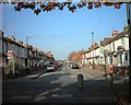
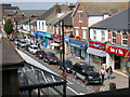
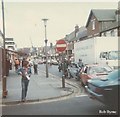
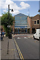
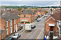
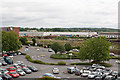
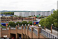
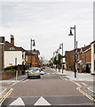
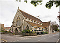
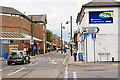
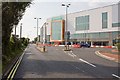
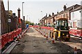
100 photos from this area
Area Information
Key information about the SO50 5QW including its size, population, and administrative classification.
- Area Type
- Postcode
- Area Size
- 6248 m²
- Population
- 1479
- Population Density
- 1182 people/km²
House Prices in SO50 5QW
36
Properties
£151,570
Average Sold Price
£50,500
Lowest Price
£311,100
Highest Price
Showing 36 properties
| Address | Type | Beds | Baths | Last Sale Price | Last Sale Date | |
|---|---|---|---|---|---|---|
| 188 Southampton Road, Eastleigh, SO50 5QW | house | 2 | - | £105,000 | Jun 2023 | |
| 222 Southampton Road, Eastleigh, SO50 5QW | Flat | 1 | 1 | £311,100 | Aug 2022 | |
| 218 Southampton Road, Eastleigh, SO50 5QW | Terraced | 2 | 2 | £230,000 | Jan 2022 | |
| 248 Southampton Road, Eastleigh, SO50 5QW | house | - | - | £218,000 | Feb 2021 | |
| 208 Southampton Road, Eastleigh, SO50 5QW | house | - | - | £227,500 | Jan 2021 | |
| 186 Southampton Road, Eastleigh, SO50 5QW | Terraced | 3 | 1 | £184,000 | Feb 2019 | |
| 246 Southampton Road, Eastleigh, SO50 5QW | Terraced | 3 | 2 | £217,000 | Sep 2017 | |
| 216 Southampton Road, Eastleigh, SO50 5QW | Terraced | 4 | 1 | £192,750 | May 2017 | |
| Homeleigh Guest House, 184 Southampton Road, Eastleigh, SO50 5QW | house | - | - | £220,000 | Mar 2016 | |
| 204 Southampton Road, Eastleigh, SO50 5QW | Terraced | 3 | 1 | £174,011 | May 2015 |
Page 1 of 4
Energy Efficiency in SO50 5QW
Amenities
Schools
| Rank | School | Type | Entry gender | Ages |
|---|
Explore more schools in this area
Go to Schools tabDemographics
Household Size
Family (3-5 people)
most common
Accommodation Type
Houses
most common
Tenure
38
majority
Ethnic Group
White
most common
Religion
N/A
most common
Household Composition
N/A
most common
Age
47
median
Adults (30-64 years)
most common
Household Deprivation
N/A
with no deprivation
NS-SEC
25
in Lower managerial occupations
Explore more demographic insights in this area
Go to Demographics tabPlanning
Planning Constraints
- Flood RiskPremium
- Ramsar Wetland SitesPremium
- Area of Outstanding Natural BeautyPremium
- Protected Nature ReservePremium
- Protected WoodlandPremium