Area Overview for SO50 4PP
Photos of SO50 4PP
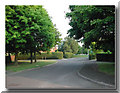
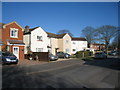
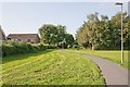
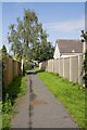
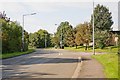
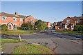
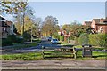
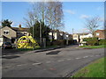
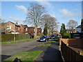
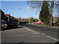
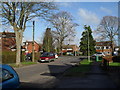
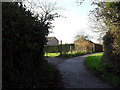
100 photos from this area
Area Information
Key information about the SO50 4PP including its size, population, and administrative classification.
- Area Type
- Postcode
- Area Size
- 8648 m²
- Population
- 1492
- Population Density
- 4836 people/km²
House Prices in SO50 4PP
19
Properties
£213,309
Average Sold Price
£76,500
Lowest Price
£455,000
Highest Price
Showing 19 properties
| Address | Type | Beds | Baths | Last Sale Price | Last Sale Date | |
|---|---|---|---|---|---|---|
| 7 Broadlands Avenue, Eastleigh, SO50 4PP | house | 5 | 2 | £455,000 | Feb 2025 | |
| 15 Broadlands Avenue, Eastleigh, SO50 4PP | house | - | - | £249,999 | Jul 2017 | |
| 1 Broadlands Avenue, Eastleigh, SO50 4PP | Semi-detached | 5 | 1 | £270,000 | Jun 2015 | |
| 17 Broadlands Avenue, Eastleigh, SO50 4PP | Semi-detached | 4 | - | £249,950 | May 2014 | |
| 21 Broadlands Avenue, Eastleigh, SO50 4PP | Detached | 5 | 1 | £225,000 | Dec 2013 | |
| 29A Broadlands Avenue, Eastleigh, SO50 4PP | Terraced | - | - | £231,950 | Dec 2006 | |
| 11 Broadlands Avenue, Eastleigh, SO50 4PP | Semi-detached | 4 | - | £233,000 | Jun 2006 | |
| 33 Broadlands Avenue, Eastleigh, SO50 4PP | Terraced | 3 | - | £178,000 | Sep 2003 | |
| 31 Broadlands Avenue, Eastleigh, SO50 4PP | house | 3 | - | £80,000 | Sep 2003 | |
| 23 Broadlands Avenue, Eastleigh, SO50 4PP | Terraced | - | - | £97,000 | Nov 1999 |
Page 1 of 2
Energy Efficiency in SO50 4PP
Amenities
Schools
| Rank | School | Type | Entry gender | Ages |
|---|
Explore more schools in this area
Go to Schools tabDemographics
Household Size
Family (3-5 people)
most common
Accommodation Type
Houses
most common
Tenure
69
majority
Ethnic Group
White
most common
Religion
N/A
most common
Household Composition
N/A
most common
Age
47
median
Adults (30-64 years)
most common
Household Deprivation
N/A
with no deprivation
NS-SEC
28
in Lower managerial occupations
Explore more demographic insights in this area
Go to Demographics tabPlanning
Planning Constraints
- Flood RiskPremium
- Ramsar Wetland SitesPremium
- Area of Outstanding Natural BeautyPremium
- Protected Nature ReservePremium
- Protected WoodlandPremium