Area Overview for SO50 4NQ
Photos of SO50 4NQ
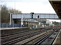

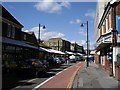
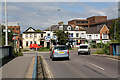
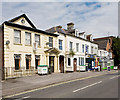
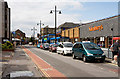
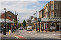
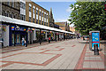
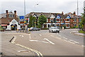

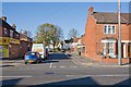
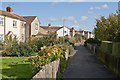
100 photos from this area
Area Information
Key information about the SO50 4NQ including its size, population, and administrative classification.
- Area Type
- Postcode
- Area Size
- 1.1 hectares
- Population
- 1503
- Population Density
- 2882 people/km²
House Prices in SO50 4NQ
35
Properties
£159,404
Average Sold Price
£34,000
Lowest Price
£342,260
Highest Price
Showing 35 properties
| Address | Type | Beds | Baths | Last Sale Price | Last Sale Date | |
|---|---|---|---|---|---|---|
| 53 Whyteways, Eastleigh, SO50 4NQ | Detached | 3 | 1 | £342,260 | Nov 2025 | |
| 69 Whyteways, Eastleigh, SO50 4NQ | Terraced | 2 | 1 | £260,000 | Sep 2025 | |
| 67 Whyteways, Eastleigh, SO50 4NQ | Terraced | 2 | 1 | £245,000 | Jun 2023 | |
| 15 Whyteways, Eastleigh, SO50 4NQ | Semi-detached | 3 | 1 | £325,000 | Mar 2022 | |
| 47 Whyteways, Eastleigh, SO50 4NQ | Terraced | 2 | - | £212,000 | May 2017 | |
| 5 Whyteways, Eastleigh, SO50 4NQ | Semi-detached | 3 | - | £251,000 | Feb 2016 | |
| 61 Whyteways, Eastleigh, SO50 4NQ | Terraced | 2 | 1 | £184,000 | Aug 2015 | |
| 37 Whyteways, Eastleigh, SO50 4NQ | Terraced | 3 | 1 | £209,950 | Jun 2014 | |
| 41 Whyteways, Eastleigh, SO50 4NQ | house | - | - | £170,000 | Apr 2014 | |
| 9 Whyteways, Eastleigh, SO50 4NQ | house | 3 | - | £194,000 | Jun 2011 |
Page 1 of 4
Energy Efficiency in SO50 4NQ
Amenities
Schools
| Rank | School | Type | Entry gender | Ages |
|---|
Explore more schools in this area
Go to Schools tabDemographics
Household Size
Two person
most common
Accommodation Type
Houses
most common
Tenure
72
majority
Ethnic Group
White
most common
Religion
N/A
most common
Household Composition
N/A
most common
Age
47
median
Adults (30-64 years)
most common
Household Deprivation
N/A
with no deprivation
NS-SEC
32
in Lower managerial occupations
Explore more demographic insights in this area
Go to Demographics tabPlanning
Planning Constraints
- Flood RiskPremium
- Ramsar Wetland SitesPremium
- Area of Outstanding Natural BeautyPremium
- Protected Nature ReservePremium
- Protected WoodlandPremium