Area Overview for SO45 6JJ
Photos of SO45 6JJ
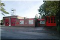
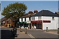
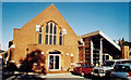
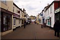
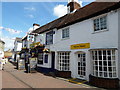
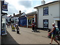

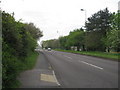
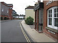
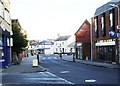
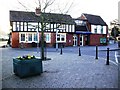
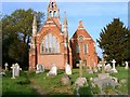
100 photos from this area
Area Information
Key information about the SO45 6JJ including its size, population, and administrative classification.
- Area Type
- Postcode
- Area Size
- 1766 m²
- Population
- 1412
- Population Density
- 3397 people/km²
House Prices in SO45 6JJ
6
Properties
£125,300
Average Sold Price
£74,000
Lowest Price
£164,500
Highest Price
Showing 6 properties
| Address | Type | Beds | Baths | Last Sale Price | Last Sale Date | |
|---|---|---|---|---|---|---|
| 15 Knightwood Road, Hythe, SO45 6JJ | Flat | 2 | 1 | £147,000 | May 2019 | |
| 13A Knightwood Road, Hythe, SO45 6JJ | Flat | - | - | £164,500 | Aug 2016 | |
| 15A Knightwood Road, Hythe, SO45 6JJ | Flat | 2 | 1 | £116,000 | Jul 2015 | |
| 13 Knightwood Road, Hythe, SO45 6JJ | Maisonette | 2 | 1 | £125,000 | Feb 2005 | |
| 19 Knightwood Road, Hythe, SO45 6JJ | Detached | 3 | 1 | £74,000 | Jan 2001 | |
| 17 Knightwood Road, Hythe, SO45 6JJ | house | - | - | - | - |
Energy Efficiency in SO45 6JJ
Amenities
Schools
| Rank | School | Type | Entry gender | Ages |
|---|
Explore more schools in this area
Go to Schools tabDemographics
Household Size
Two person
most common
Accommodation Type
Houses
most common
Tenure
75
majority
Ethnic Group
White
most common
Religion
N/A
most common
Household Composition
N/A
most common
Age
47
median
Adults (30-64 years)
most common
Household Deprivation
N/A
with no deprivation
NS-SEC
31
in Lower managerial occupations
Explore more demographic insights in this area
Go to Demographics tabPlanning
Planning Constraints
- Flood RiskPremium
- Ramsar Wetland SitesPremium
- Area of Outstanding Natural BeautyPremium
- Protected Nature ReservePremium
- Protected WoodlandPremium