Area Overview for SO42 7YE
Photos of SO42 7YE
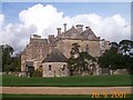
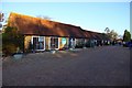
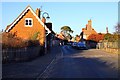
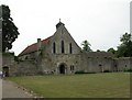
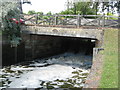
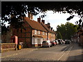
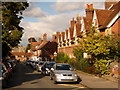
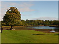
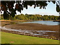
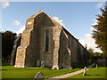

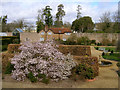
100 photos from this area
Area Information
Key information about the SO42 7YE including its size, population, and administrative classification.
- Area Type
- Postcode
- Area Size
- 1.3 km²
- Population
- 2081
- Population Density
- 16 people/km²
House Prices in SO42 7YE
23
Properties
£673,400
Average Sold Price
£140,000
Lowest Price
£1,100,000
Highest Price
Showing 23 properties
| Address | Type | Beds | Baths | Last Sale Price | Last Sale Date | |
|---|---|---|---|---|---|---|
| Ryehill Cottage, Lyndhurst Road, Beaulieu, SO42 7YE | Cottage | 4 | - | £962,000 | Aug 2018 | |
| Shepherds Mead, Lyndhurst Road, Beaulieu, SO42 7YE | Detached | - | - | £965,000 | May 2016 | |
| Saltmarsh, Lyndhurst Road, Beaulieu, SO42 7YE | Detached | 6 | 1 | £1,100,000 | Jan 2009 | |
| Grove Gate, Lyndhurst Road, Beaulieu, SO42 7YE | Bungalow | 3 | 2 | £200,000 | Feb 2001 | |
| B&b, 1, Northern Cottages, Lyndhurst Road, Beaulieu, SO42 7YE | Terraced | - | - | £140,000 | Mar 1998 | |
| 3, Northern Cottages, Lyndhurst Road, Beaulieu, SO42 7YE | undefined | - | - | - | - | |
| 4, Northern Cottages, Lyndhurst Road, Beaulieu, SO42 7YE | house | 3 | 1 | - | - | |
| Pondside Cottage, Lyndhurst Road, Beaulieu, SO42 7YE | Detached | - | - | - | - | |
| 1, Pondside Flats, Lyndhurst Road, Beaulieu, SO42 7YE | Flat | - | - | - | - | |
| 2, Northern Cottages, Lyndhurst Road, Beaulieu, SO42 7YE | Terraced | - | - | - | - |
Page 1 of 3
Energy Efficiency in SO42 7YE
Amenities
Schools
| Rank | School | Type | Entry gender | Ages |
|---|
Explore more schools in this area
Go to Schools tabDemographics
Household Size
Two person
most common
Accommodation Type
Houses
most common
Tenure
61
majority
Ethnic Group
White
most common
Religion
N/A
most common
Household Composition
N/A
most common
Age
47
median
Adults (30-64 years)
most common
Household Deprivation
N/A
with no deprivation
NS-SEC
41
in Lower managerial occupations
Explore more demographic insights in this area
Go to Demographics tabPlanning
Planning Constraints
- Flood RiskPremium
- Ramsar Wetland SitesPremium
- Area of Outstanding Natural BeautyPremium
- Protected Nature ReservePremium
- Protected WoodlandPremium