Area Overview for SO42 7RH
Photos of SO42 7RH
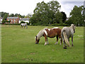
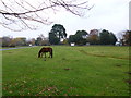
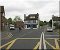
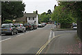
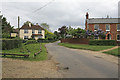
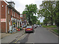
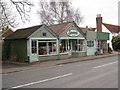
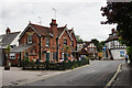
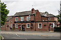
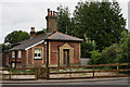
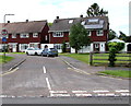
100 photos from this area
Area Information
Key information about the SO42 7RH including its size, population, and administrative classification.
- Area Type
- Postcode
- Area Size
- 22.0 hectares
- Population
- 1748
- Population Density
- 1602 people/km²
House Prices in SO42 7RH
18
Properties
£423,890
Average Sold Price
£129,950
Lowest Price
£940,000
Highest Price
Showing 18 properties
| Address | Type | Beds | Baths | Last Sale Price | Last Sale Date | |
|---|---|---|---|---|---|---|
| Fairford House, Lyndhurst Road, Brockenhurst, SO42 7RH | Semi-detached | 4 | - | £940,000 | Mar 2018 | |
| The Old School House, Lyndhurst Road, Brockenhurst, SO42 7RH | house | - | - | £420,000 | Dec 2011 | |
| Chapel House, Lyndhurst Road, Brockenhurst, SO42 7RH | Detached | 3 | 2 | £427,500 | Feb 2010 | |
| 2, Garlands Cottage, Lyndhurst Road, Brockenhurst, SO42 7RH | house | - | - | £202,000 | Feb 2009 | |
| The Chapel, Lyndhurst Road, Brockenhurst, SO42 7RH | Detached | 3 | 2 | £129,950 | May 1995 | |
| 1, Garlands Cottage, Lyndhurst Road, Brockenhurst, SO42 7RH | house | 3 | - | - | - | |
| Careys Manor Hotel, Le Blaireau Cafe, Lyndhurst Road, Brockenhurst, SO42 7RH | Maisonette | - | - | - | - | |
| Staff Accomodation, Careys Manor Hotel, Lyndhurst Road, Brockenhurst, SO42 7RH | house | - | - | - | - | |
| Gas Governor (college Lodge), Lyndhurst Road, Brockenhurst, SO42 7RH | Industrial | - | - | - | - | |
| 1, Rhains, Lyndhurst Road, Brockenhurst, SO42 7RH | Flat | - | - | - | - |
Page 1 of 2
Energy Efficiency in SO42 7RH
Amenities
Schools
| Rank | School | Type | Entry gender | Ages |
|---|
Explore more schools in this area
Go to Schools tabDemographics
Household Size
One person
most common
Accommodation Type
Houses
most common
Tenure
69
majority
Ethnic Group
White
most common
Religion
N/A
most common
Household Composition
N/A
most common
Age
47
median
Adults (30-64 years)
most common
Household Deprivation
N/A
with no deprivation
NS-SEC
43
in Lower managerial occupations
Explore more demographic insights in this area
Go to Demographics tabPlanning
Planning Constraints
- Flood RiskPremium
- Ramsar Wetland SitesPremium
- Area of Outstanding Natural BeautyPremium
- Protected Nature ReservePremium
- Protected WoodlandPremium