Area Overview for SO41 8EY
Photos of SO41 8EY
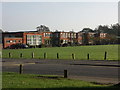
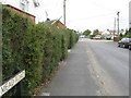
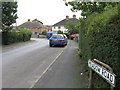
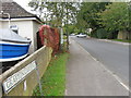
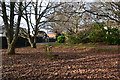

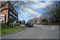

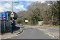
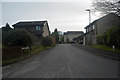

38 photos from this area
Area Information
Key information about the SO41 8EY including its size, population, and administrative classification.
- Area Type
- Postcode
- Area Size
- 9118 m²
- Population
- 1731
- Population Density
- 377 people/km²
House Prices in SO41 8EY
20
Properties
£431,466
Average Sold Price
£154,000
Lowest Price
£625,000
Highest Price
Showing 20 properties
| Address | Type | Beds | Baths | Last Sale Price | Last Sale Date | |
|---|---|---|---|---|---|---|
| 2 Leelands, Pennington, SO41 8EY | Semi-detached | 4 | 2 | £495,000 | Aug 2024 | |
| 12 Leelands, Pennington, SO41 8EY | house | - | - | £530,000 | Feb 2024 | |
| 15 Leelands, Pennington, SO41 8EY | house | - | - | £625,000 | Feb 2022 | |
| 11 Leelands, Pennington, SO41 8EY | house | - | - | £485,000 | Jun 2021 | |
| 10 Leelands, Pennington, SO41 8EY | Terraced | 4 | 2 | £575,000 | Jun 2021 | |
| 18 Leelands, Pennington, SO41 8EY | house | - | - | £495,000 | Mar 2021 | |
| 1 Leelands, Pennington, SO41 8EY | Semi-detached | 4 | 1 | £460,000 | Jan 2021 | |
| 20 Leelands, Pennington, SO41 8EY | Terraced | 4 | 2 | £565,000 | Oct 2018 | |
| 21 Leelands, Pennington, SO41 8EY | Detached | 4 | - | £580,000 | Oct 2016 | |
| 4 Leelands, Pennington, SO41 8EY | Semi-detached | 3 | - | £352,500 | Feb 2014 |
Page 1 of 2
Energy Efficiency in SO41 8EY
Amenities
Schools
| Rank | School | Type | Entry gender | Ages |
|---|
Explore more schools in this area
Go to Schools tabDemographics
Household Size
Two person
most common
Accommodation Type
Houses
most common
Tenure
80
majority
Ethnic Group
White
most common
Religion
N/A
most common
Household Composition
N/A
most common
Age
47
median
Adults (30-64 years)
most common
Household Deprivation
N/A
with no deprivation
NS-SEC
43
in Lower managerial occupations
Explore more demographic insights in this area
Go to Demographics tabPlanning
Planning Constraints
- Flood RiskPremium
- Ramsar Wetland SitesPremium
- Area of Outstanding Natural BeautyPremium
- Protected Nature ReservePremium
- Protected WoodlandPremium