Area Overview for SO41 8DA
Photos of SO41 8DA
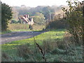
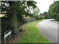
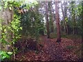
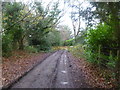
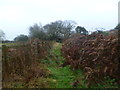

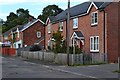
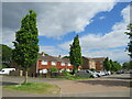
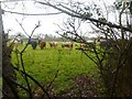
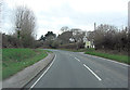
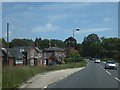
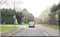
24 photos from this area
Area Information
Key information about the SO41 8DA including its size, population, and administrative classification.
- Area Type
- Postcode
- Area Size
- 4.2 hectares
- Population
- 1438
- Population Density
- 4379 people/km²
House Prices in SO41 8DA
30
Properties
£165,475
Average Sold Price
£55,000
Lowest Price
£265,000
Highest Price
Showing 30 properties
| Address | Type | Beds | Baths | Last Sale Price | Last Sale Date | |
|---|---|---|---|---|---|---|
| 41 Efford Way, Pennington, SO41 8DA | Terraced | 3 | 1 | £250,000 | May 2022 | |
| 45 Efford Way, Pennington, SO41 8DA | Terraced | 3 | 1 | £265,000 | Feb 2021 | |
| 49 Efford Way, Pennington, SO41 8DA | house | - | - | £175,000 | Oct 2015 | |
| 31 Efford Way, Pennington, SO41 8DA | house | - | - | £178,000 | Apr 2013 | |
| 33 Efford Way, Pennington, SO41 8DA | Semi-detached | 2 | 1 | £146,000 | Feb 2010 | |
| 57 Efford Way, Pennington, SO41 8DA | house | - | - | £192,800 | Jan 2008 | |
| 87 Efford Way, Pennington, SO41 8DA | Maisonette | - | - | £62,000 | Jan 2001 | |
| 43 Efford Way, Pennington, SO41 8DA | house | - | - | £55,000 | Jul 1996 | |
| Block For, 69-87 Efford Way, Pennington, SO41 8DA | Flat | - | - | - | - | |
| 59 Efford Way, Pennington, SO41 8DA | house | - | - | - | - |
Page 1 of 3
Energy Efficiency in SO41 8DA
Amenities
Schools
| Rank | School | Type | Entry gender | Ages |
|---|
Explore more schools in this area
Go to Schools tabDemographics
Household Size
Two person
most common
Accommodation Type
Houses
most common
Tenure
43
majority
Ethnic Group
White
most common
Religion
N/A
most common
Household Composition
N/A
most common
Age
47
median
Adults (30-64 years)
most common
Household Deprivation
N/A
with no deprivation
NS-SEC
22
in Lower managerial occupations
Explore more demographic insights in this area
Go to Demographics tabPlanning
Planning Constraints
- Flood RiskPremium
- Ramsar Wetland SitesPremium
- Area of Outstanding Natural BeautyPremium
- Protected Nature ReservePremium
- Protected WoodlandPremium