Area Overview for SO41 6DZ
Photos of SO41 6DZ
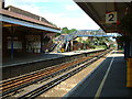
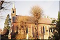
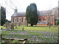
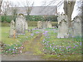
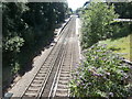
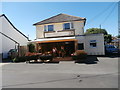
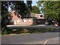

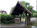
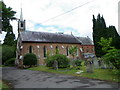
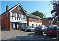
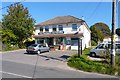
53 photos from this area
Area Information
Key information about the SO41 6DZ including its size, population, and administrative classification.
- Area Type
- Postcode
- Area Size
- 7527 m²
- Population
- 1795
- Population Density
- 884 people/km²
House Prices in SO41 6DZ
17
Properties
£262,417
Average Sold Price
£55,500
Lowest Price
£625,000
Highest Price
Showing 17 properties
| Address | Type | Beds | Baths | Last Sale Price | Last Sale Date | |
|---|---|---|---|---|---|---|
| 18 Little Burn, Sway, SO41 6DZ | Retail | 3 | 1 | £373,500 | Feb 2022 | |
| 5 Little Burn, Sway, SO41 6DZ | house | - | - | £625,000 | Nov 2020 | |
| 3 Little Burn, Sway, SO41 6DZ | house | 3 | - | £217,500 | Sep 2011 | |
| 1 Little Burn, Sway, SO41 6DZ | Detached | - | - | £199,000 | Apr 2003 | |
| 9 Little Burn, Sway, SO41 6DZ | house | - | - | £104,000 | May 2000 | |
| 11 Little Burn, Sway, SO41 6DZ | Terraced | - | - | £55,500 | Apr 1996 | |
| 12 Little Burn, Sway, SO41 6DZ | house | - | - | - | - | |
| 6 Little Burn, Sway, SO41 6DZ | house | - | - | - | - | |
| 10 Little Burn, Sway, SO41 6DZ | Terraced | - | - | - | - | |
| 16 Little Burn, Sway, SO41 6DZ | Bungalow | - | - | - | - |
Page 1 of 2
Energy Efficiency in SO41 6DZ
Amenities
Schools
| Rank | School | Type | Entry gender | Ages |
|---|
Explore more schools in this area
Go to Schools tabDemographics
Household Size
Two person
most common
Accommodation Type
Houses
most common
Tenure
81
majority
Ethnic Group
White
most common
Religion
N/A
most common
Household Composition
N/A
most common
Age
47
median
Adults (30-64 years)
most common
Household Deprivation
N/A
with no deprivation
NS-SEC
43
in Lower managerial occupations
Explore more demographic insights in this area
Go to Demographics tabPlanning
Planning Constraints
- Flood RiskPremium
- Ramsar Wetland SitesPremium
- Area of Outstanding Natural BeautyPremium
- Protected Nature ReservePremium
- Protected WoodlandPremium