Area Overview for SO41 6BW
Photos of SO41 6BW
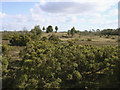
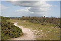
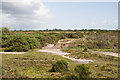
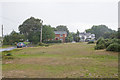
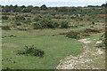
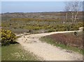

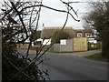
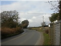
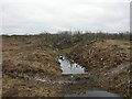
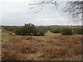
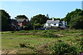
29 photos from this area
Area Information
Key information about the SO41 6BW including its size, population, and administrative classification.
- Area Type
- Postcode
- Area Size
- 76.9 hectares
- Population
- 2114
- Population Density
- 143 people/km²
House Prices in SO41 6BW
25
Properties
£728,824
Average Sold Price
£340,000
Lowest Price
£1,375,000
Highest Price
Showing 25 properties
| Address | Type | Beds | Baths | Last Sale Price | Last Sale Date | |
|---|---|---|---|---|---|---|
| Havana, Pitmore Lane, Sway, SO41 6BW | Detached | 5 | 5 | £1,320,000 | Nov 2023 | |
| Little Corner Cottage, Pitmore Lane, Sway, SO41 6BW | Semi-detached | 2 | 1 | £450,000 | Oct 2023 | |
| Woodlands, Pitmore Lane, Sway, SO41 6BW | Bungalow | 4 | 2 | £1,200,000 | Aug 2023 | |
| High Widden, Pitmore Lane, Sway, SO41 6BW | Detached | 4 | 2 | £1,375,000 | Nov 2020 | |
| Redwing Farm, Pitmore Lane, Sway, SO41 6BW | Detached | 5 | 5 | £1,180,000 | Oct 2020 | |
| Blundens Cottage, Pitmore Lane, Sway, SO41 6BW | Semi-detached | 3 | - | £635,000 | Apr 2018 | |
| Hawthorne Cottage, Pitmore Lane, Sway, SO41 6BW | house | - | - | £615,000 | Apr 2016 | |
| Hilltop, Pitmore Lane, Sway, SO41 6BW | Detached | 4 | - | £675,000 | Jan 2016 | |
| Widden Edge, Pitmore Lane, Sway, SO41 6BW | Cottage | 4 | - | £650,000 | May 2015 | |
| Brandy Cottage, Pitmore Lane, Sway, SO41 6BW | Detached | 4 | - | £435,000 | Nov 2013 |
Page 1 of 3
Energy Efficiency in SO41 6BW
Amenities
Schools
| Rank | School | Type | Entry gender | Ages |
|---|
Explore more schools in this area
Go to Schools tabDemographics
Household Size
Two person
most common
Accommodation Type
Houses
most common
Tenure
87
majority
Ethnic Group
White
most common
Religion
N/A
most common
Household Composition
N/A
most common
Age
47
median
Adults (30-64 years)
most common
Household Deprivation
N/A
with no deprivation
NS-SEC
44
in Lower managerial occupations
Explore more demographic insights in this area
Go to Demographics tabPlanning
Planning Constraints
- Flood RiskPremium
- Ramsar Wetland SitesPremium
- Area of Outstanding Natural BeautyPremium
- Protected Nature ReservePremium
- Protected WoodlandPremium