Area Overview for SO41 0UF
Photos of SO41 0UF
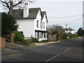
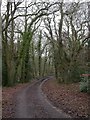
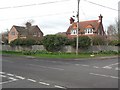
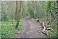
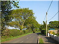
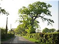
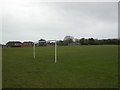
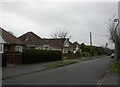
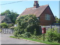
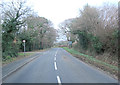
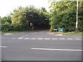
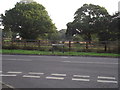
20 photos from this area
Area Information
Key information about the SO41 0UF including its size, population, and administrative classification.
- Area Type
- Postcode
- Area Size
- 5.9 hectares
- Population
- 1999
- Population Density
- 432 people/km²
House Prices in SO41 0UF
27
Properties
£324,613
Average Sold Price
£78,000
Lowest Price
£680,000
Highest Price
Showing 27 properties
| Address | Type | Beds | Baths | Last Sale Price | Last Sale Date | |
|---|---|---|---|---|---|---|
| 6 Greenmead Avenue, Everton, SO41 0UF | Bungalow | 5 | 2 | £680,000 | Feb 2024 | |
| 3 Greenmead Avenue, Everton, SO41 0UF | Bungalow | 3 | 1 | £475,000 | Nov 2023 | |
| 11 Greenmead Avenue, Everton, SO41 0UF | Bungalow | 4 | 2 | £485,000 | Feb 2020 | |
| 22 Greenmead Avenue, Everton, SO41 0UF | Bungalow | 3 | 2 | £525,000 | Feb 2019 | |
| 15 Greenmead Avenue, Everton, SO41 0UF | Bungalow | - | - | £410,000 | Jul 2018 | |
| 25 Greenmead Avenue, Everton, SO41 0UF | Detached | 4 | 2 | £430,000 | Jun 2018 | |
| 10 Greenmead Avenue, Everton, SO41 0UF | Bungalow | - | - | £355,000 | Sep 2017 | |
| 5 Greenmead Avenue, Everton, SO41 0UF | Bungalow | 3 | 1 | £329,950 | Oct 2014 | |
| 20 Greenmead Avenue, Everton, SO41 0UF | Bungalow | 2 | - | £290,000 | Jul 2013 | |
| 1 Greenmead Avenue, Everton, SO41 0UF | Bungalow | 4 | - | £322,500 | Jun 2013 |
Page 1 of 3
Energy Efficiency in SO41 0UF
Amenities
Schools
| Rank | School | Type | Entry gender | Ages |
|---|
Explore more schools in this area
Go to Schools tabDemographics
Household Size
Two person
most common
Accommodation Type
Houses
most common
Tenure
90
majority
Ethnic Group
White
most common
Religion
N/A
most common
Household Composition
N/A
most common
Age
47
median
Elderly (65+ years)
most common
Household Deprivation
N/A
with no deprivation
NS-SEC
38
in Lower managerial occupations
Explore more demographic insights in this area
Go to Demographics tabPlanning
Planning Constraints
- Flood RiskPremium
- Ramsar Wetland SitesPremium
- Area of Outstanding Natural BeautyPremium
- Protected Nature ReservePremium
- Protected WoodlandPremium