Area Overview for SO41 0LS
Photos of SO41 0LS
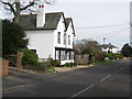
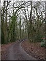
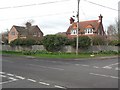
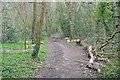
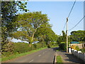
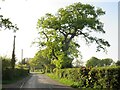
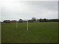
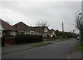
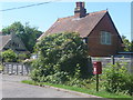
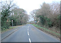
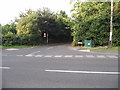
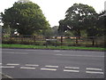
20 photos from this area
Area Information
Key information about the SO41 0LS including its size, population, and administrative classification.
- Area Type
- Postcode
- Area Size
- 8939 m²
- Population
- 1999
- Population Density
- 432 people/km²
House Prices in SO41 0LS
13
Properties
£348,077
Average Sold Price
£158,000
Lowest Price
£540,000
Highest Price
Showing 13 properties
| Address | Type | Beds | Baths | Last Sale Price | Last Sale Date | |
|---|---|---|---|---|---|---|
| 11 Harts Way, Everton, SO41 0LS | Bungalow | 3 | 1 | £450,000 | May 2024 | |
| 8 Harts Way, Everton, SO41 0LS | Bungalow | 2 | 1 | £418,500 | Apr 2024 | |
| 10 Harts Way, Everton, SO41 0LS | Bungalow | 2 | 1 | £540,000 | Nov 2022 | |
| 14 Harts Way, Everton, SO41 0LS | Bungalow | 3 | 1 | £515,000 | Dec 2020 | |
| 5 Harts Way, Everton, SO41 0LS | Bungalow | 3 | 2 | £415,000 | Jan 2018 | |
| 4 Harts Way, Everton, SO41 0LS | Bungalow | 2 | - | £320,000 | Nov 2015 | |
| 9 Harts Way, Everton, SO41 0LS | Bungalow | 2 | - | £387,500 | Oct 2015 | |
| 7 Harts Way, Everton, SO41 0LS | Bungalow | 2 | 1 | £241,000 | Jan 2010 | |
| 6 Harts Way, Everton, SO41 0LS | Bungalow | 2 | 1 | £260,000 | Jan 2007 | |
| 3 Harts Way, Everton, SO41 0LS | Detached | - | - | £275,000 | Aug 2006 |
Page 1 of 2
Energy Efficiency in SO41 0LS
Amenities
Schools
| Rank | School | Type | Entry gender | Ages |
|---|
Explore more schools in this area
Go to Schools tabDemographics
Household Size
Two person
most common
Accommodation Type
Houses
most common
Tenure
90
majority
Ethnic Group
White
most common
Religion
N/A
most common
Household Composition
N/A
most common
Age
47
median
Elderly (65+ years)
most common
Household Deprivation
N/A
with no deprivation
NS-SEC
38
in Lower managerial occupations
Explore more demographic insights in this area
Go to Demographics tabPlanning
Planning Constraints
- Flood RiskPremium
- Ramsar Wetland SitesPremium
- Area of Outstanding Natural BeautyPremium
- Protected Nature ReservePremium
- Protected WoodlandPremium