Area Overview for SO41 0HS
Photos of SO41 0HS
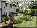
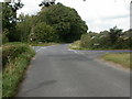
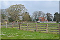
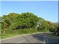
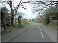
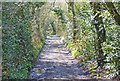
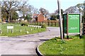

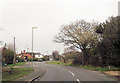
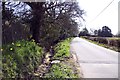
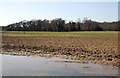
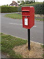
21 photos from this area
Area Information
Key information about the SO41 0HS including its size, population, and administrative classification.
- Area Type
- Postcode
- Area Size
- 7.9 hectares
- Population
- 1801
- Population Density
- 602 people/km²
House Prices in SO41 0HS
22
Properties
£347,000
Average Sold Price
£136,000
Lowest Price
£640,000
Highest Price
Showing 22 properties
| Address | Type | Beds | Baths | Last Sale Price | Last Sale Date | |
|---|---|---|---|---|---|---|
| Wildflower House, Vicarage Lane, Hordle, SO41 0HS | Detached | 4 | 3 | £640,000 | Mar 2021 | |
| Twin Oaks, Vicarage Lane, Hordle, SO41 0HS | Detached | 4 | 1 | £450,000 | Sep 2019 | |
| Fair Oak, Vicarage Lane, Hordle, SO41 0HS | Detached | 3 | - | £385,000 | Sep 2018 | |
| Hightree Cottage, Vicarage Lane, Hordle, SO41 0HS | Bungalow | 3 | - | £425,000 | Dec 2017 | |
| The Croft, Vicarage Lane, Hordle, SO41 0HS | Detached | 5 | 2 | £575,000 | Feb 2017 | |
| Colville, Vicarage Lane, Hordle, SO41 0HS | Detached | 3 | 1 | £425,000 | Oct 2013 | |
| Gloribee, Vicarage Lane, Hordle, SO41 0HS | Detached | - | - | £230,000 | Apr 2009 | |
| Woodlands, Vicarage Lane, Hordle, SO41 0HS | Detached | - | - | £323,000 | Jun 2006 | |
| Carisbrooke, Vicarage Lane, Hordle, SO41 0HS | Detached | - | - | £250,000 | Feb 2006 | |
| Little Briars, Vicarage Lane, Hordle, SO41 0HS | house | - | - | £186,000 | Aug 2000 |
Page 1 of 3
Energy Efficiency in SO41 0HS
Amenities
Schools
| Rank | School | Type | Entry gender | Ages |
|---|
Explore more schools in this area
Go to Schools tabDemographics
Household Size
Two person
most common
Accommodation Type
Houses
most common
Tenure
81
majority
Ethnic Group
White
most common
Religion
N/A
most common
Household Composition
N/A
most common
Age
47
median
Adults (30-64 years)
most common
Household Deprivation
N/A
with no deprivation
NS-SEC
35
in Lower managerial occupations
Explore more demographic insights in this area
Go to Demographics tabPlanning
Planning Constraints
- Flood RiskPremium
- Ramsar Wetland SitesPremium
- Area of Outstanding Natural BeautyPremium
- Protected Nature ReservePremium
- Protected WoodlandPremium