Area Overview for SO41 0GU
Photos of SO41 0GU
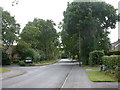
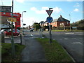

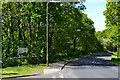
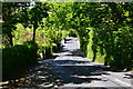
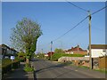

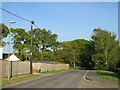
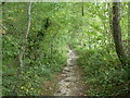
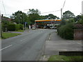
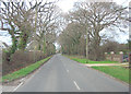
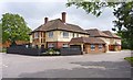
33 photos from this area
Area Information
Key information about the SO41 0GU including its size, population, and administrative classification.
- Area Type
- Postcode
- Area Size
- 1.9 hectares
- Population
- 1776
- Population Density
- 772 people/km²
House Prices in SO41 0GU
45
Properties
£244,285
Average Sold Price
£71,950
Lowest Price
£719,000
Highest Price
Showing 45 properties
| Address | Type | Beds | Baths | Last Sale Price | Last Sale Date | |
|---|---|---|---|---|---|---|
| 11 Charnock Close, Hordle, SO41 0GU | Semi-detached | 3 | 1 | £345,000 | Jun 2025 | |
| 44 Charnock Close, Hordle, SO41 0GU | Semi-detached | 2 | 1 | £300,000 | Feb 2025 | |
| 14 Charnock Close, Hordle, SO41 0GU | Detached | 3 | 1 | £358,000 | Feb 2025 | |
| 28 Charnock Close, Hordle, SO41 0GU | Semi-detached | 3 | 1 | £445,000 | Nov 2024 | |
| Yewcroft, 2 Charnock Close, Hordle, SO41 0GU | Detached | 4 | 3 | £719,000 | Oct 2024 | |
| 36 Charnock Close, Hordle, SO41 0GU | Semi-detached | 3 | 2 | £430,000 | Oct 2022 | |
| 40 Charnock Close, Hordle, SO41 0GU | Bungalow | 2 | - | £365,000 | Nov 2020 | |
| 31 Charnock Close, Hordle, SO41 0GU | Bungalow | 4 | 1 | £325,000 | Oct 2020 | |
| 24 Charnock Close, Hordle, SO41 0GU | Semi-detached | 3 | 2 | £370,000 | Jan 2020 | |
| 27 Charnock Close, Hordle, SO41 0GU | Semi-detached | 3 | - | £340,000 | Oct 2019 |
Page 1 of 5
Energy Efficiency in SO41 0GU
Amenities
Schools
| Rank | School | Type | Entry gender | Ages |
|---|
Explore more schools in this area
Go to Schools tabDemographics
Household Size
Two person
most common
Accommodation Type
Houses
most common
Tenure
84
majority
Ethnic Group
White
most common
Religion
N/A
most common
Household Composition
N/A
most common
Age
47
median
Adults (30-64 years)
most common
Household Deprivation
N/A
with no deprivation
NS-SEC
32
in Lower managerial occupations
Explore more demographic insights in this area
Go to Demographics tabPlanning
Planning Constraints
- Flood RiskPremium
- Ramsar Wetland SitesPremium
- Area of Outstanding Natural BeautyPremium
- Protected Nature ReservePremium
- Protected WoodlandPremium