Area Overview for SO41 0AZ
Photos of SO41 0AZ
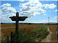
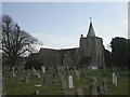
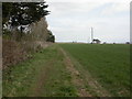
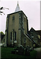
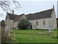
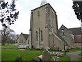
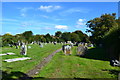
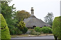
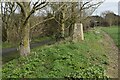
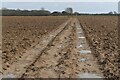
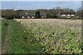
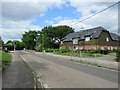
46 photos from this area
Area Information
Key information about the SO41 0AZ including its size, population, and administrative classification.
- Area Type
- Postcode
- Area Size
- 3.2 hectares
- Population
- 1721
- Population Density
- 1758 people/km²
House Prices in SO41 0AZ
43
Properties
£566,783
Average Sold Price
£249,999
Lowest Price
£935,000
Highest Price
Showing 43 properties
| Address | Type | Beds | Baths | Last Sale Price | Last Sale Date | |
|---|---|---|---|---|---|---|
| 49 Bradley Road, Milford On Sea, SO41 0AZ | Terraced | 2 | 1 | £360,000 | Nov 2025 | |
| 35 Bradley Road, Milford On Sea, SO41 0AZ | house | - | - | £360,000 | Oct 2025 | |
| 7 Bradley Road, Milford On Sea, SO41 0AZ | Detached | 4 | 3 | £820,000 | Feb 2025 | |
| 21 Bradley Road, Milford On Sea, SO41 0AZ | Semi-detached | 2 | - | £525,000 | Jan 2023 | |
| 6 Bradley Road, Milford On Sea, SO41 0AZ | Detached | 4 | 2 | £710,000 | May 2021 | |
| 8 Bradley Road, Milford On Sea, SO41 0AZ | house | - | - | £445,000 | May 2021 | |
| 10 Bradley Road, Milford On Sea, SO41 0AZ | house | - | - | £446,000 | May 2021 | |
| 12 Bradley Road, Milford On Sea, SO41 0AZ | house | - | - | £900,000 | Apr 2021 | |
| 14 Bradley Road, Milford On Sea, SO41 0AZ | house | - | - | £900,000 | Apr 2021 | |
| 16 Bradley Road, Milford On Sea, SO41 0AZ | house | - | - | £935,000 | Mar 2021 |
Page 1 of 5
Energy Efficiency in SO41 0AZ
Amenities
Schools
| Rank | School | Type | Entry gender | Ages |
|---|
Explore more schools in this area
Go to Schools tabDemographics
Household Size
Two person
most common
Accommodation Type
Houses
most common
Tenure
85
majority
Ethnic Group
White
most common
Religion
N/A
most common
Household Composition
N/A
most common
Age
70
median
Elderly (65+ years)
most common
Household Deprivation
N/A
with no deprivation
NS-SEC
44
in Lower managerial occupations
Explore more demographic insights in this area
Go to Demographics tabPlanning
Planning Constraints
- Flood RiskPremium
- Ramsar Wetland SitesPremium
- Area of Outstanding Natural BeautyPremium
- Protected Nature ReservePremium
- Protected WoodlandPremium