Area Overview for SO40 8FB
Photos of SO40 8FB
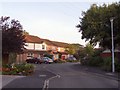
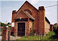
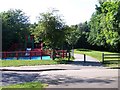
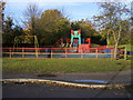
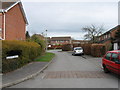
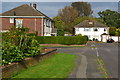
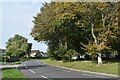
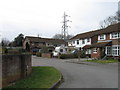
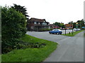
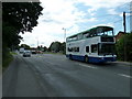
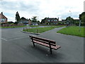
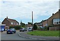
60 photos from this area
Area Information
Key information about the SO40 8FB including its size, population, and administrative classification.
- Area Type
- Postcode
- Area Size
- 6761 m²
- Population
- 1476
- Population Density
- 5223 people/km²
House Prices in SO40 8FB
12
Properties
£285,594
Average Sold Price
£89,250
Lowest Price
£415,000
Highest Price
Showing 12 properties
| Address | Type | Beds | Baths | Last Sale Price | Last Sale Date | |
|---|---|---|---|---|---|---|
| 16 Fritham Close, Totton, SO40 8FB | Bungalow | 3 | 1 | £365,000 | May 2024 | |
| 18 Fritham Close, Totton, SO40 8FB | Semi-detached | 2 | 1 | £265,000 | Jan 2024 | |
| 12 Fritham Close, Totton, SO40 8FB | Bungalow | 3 | 1 | £325,000 | Oct 2023 | |
| 22 Fritham Close, Totton, SO40 8FB | Bungalow | - | - | £310,000 | Jun 2021 | |
| 14 Fritham Close, Totton, SO40 8FB | Bungalow | 5 | 2 | £415,000 | Dec 2019 | |
| 6 Fritham Close, Totton, SO40 8FB | Bungalow | - | - | £337,500 | Dec 2016 | |
| 20 Fritham Close, Totton, SO40 8FB | Semi-detached | - | - | £178,000 | Aug 2003 | |
| 8 Fritham Close, Totton, SO40 8FB | Detached | - | - | £89,250 | May 1999 | |
| 24 Fritham Close, Totton, SO40 8FB | Detached | - | - | - | - | |
| 4 Fritham Close, Totton, SO40 8FB | Detached | - | - | - | - |
Page 1 of 2
Energy Efficiency in SO40 8FB
Amenities
Schools
| Rank | School | Type | Entry gender | Ages |
|---|
Explore more schools in this area
Go to Schools tabDemographics
Household Size
Two person
most common
Accommodation Type
Houses
most common
Tenure
78
majority
Ethnic Group
White
most common
Religion
N/A
most common
Household Composition
N/A
most common
Age
47
median
Adults (30-64 years)
most common
Household Deprivation
N/A
with no deprivation
NS-SEC
36
in Lower managerial occupations
Explore more demographic insights in this area
Go to Demographics tabPlanning
Planning Constraints
- Flood RiskPremium
- Ramsar Wetland SitesPremium
- Area of Outstanding Natural BeautyPremium
- Protected Nature ReservePremium
- Protected WoodlandPremium