Area Overview for SO40 3QS
Photos of SO40 3QS
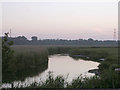
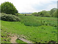
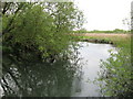
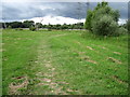
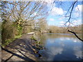
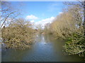
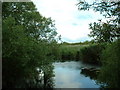
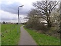
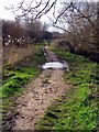
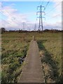
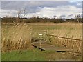
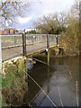
63 photos from this area
Area Information
Key information about the SO40 3QS including its size, population, and administrative classification.
- Area Type
- Postcode
- Area Size
- 92.8 hectares
- Population
- 2542
- Population Density
- 459 people/km²
House Prices in SO40 3QS
24
Properties
£280,154
Average Sold Price
£48,665
Lowest Price
£460,000
Highest Price
Showing 24 properties
| Address | Type | Beds | Baths | Last Sale Price | Last Sale Date | |
|---|---|---|---|---|---|---|
| 130 Testwood Lane, Totton, SO40 3QS | Bungalow | 2 | 1 | £425,000 | Oct 2025 | |
| 120 Testwood Lane, Totton, SO40 3QS | Bungalow | 2 | 1 | £250,000 | Jan 2024 | |
| 114 Testwood Lane, Totton, SO40 3QS | Retail | 3 | 1 | £460,000 | May 2022 | |
| The Limes, 92 Testwood Lane, Totton, SO40 3QS | Bungalow | 2 | 1 | £310,000 | Mar 2019 | |
| 98 Testwood Lane, Totton, SO40 3QS | Bungalow | 2 | - | £370,000 | Oct 2017 | |
| 116 Testwood Lane, Totton, SO40 3QS | Bungalow | 2 | 1 | £345,000 | Aug 2017 | |
| 118 Testwood Lane, Totton, SO40 3QS | Bungalow | 3 | 1 | £350,000 | Jun 2016 | |
| 102 Testwood Lane, Totton, SO40 3QS | Bungalow | - | - | £277,000 | Dec 2015 | |
| 108 Testwood Lane, Totton, SO40 3QS | Bungalow | - | - | £280,000 | Nov 2014 | |
| 94 Testwood Lane, Totton, SO40 3QS | Bungalow | 2 | - | £235,000 | Oct 2013 |
Page 1 of 3
Energy Efficiency in SO40 3QS
Amenities
Schools
| Rank | School | Type | Entry gender | Ages |
|---|
Explore more schools in this area
Go to Schools tabDemographics
Household Size
Two person
most common
Accommodation Type
Houses
most common
Tenure
72
majority
Ethnic Group
White
most common
Religion
N/A
most common
Household Composition
N/A
most common
Age
47
median
Adults (30-64 years)
most common
Household Deprivation
N/A
with no deprivation
NS-SEC
41
in Lower managerial occupations
Explore more demographic insights in this area
Go to Demographics tabPlanning
Planning Constraints
- Flood RiskPremium
- Ramsar Wetland SitesPremium
- Area of Outstanding Natural BeautyPremium
- Protected Nature ReservePremium
- Protected WoodlandPremium