Area Overview for SO40 2RX
Photos of SO40 2RX
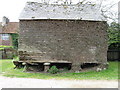
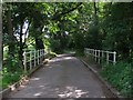
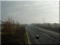
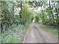
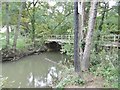
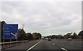
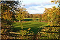

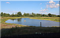
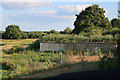
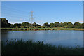

42 photos from this area
Area Information
Key information about the SO40 2RX including its size, population, and administrative classification.
- Area Type
- Postcode
- Area Size
- 1.7 km²
- Population
- 1475
- Population Density
- 143 people/km²
House Prices in SO40 2RX
24
Properties
£633,313
Average Sold Price
£150,000
Lowest Price
£975,000
Highest Price
Showing 24 properties
| Address | Type | Beds | Baths | Last Sale Price | Last Sale Date | |
|---|---|---|---|---|---|---|
| Studio Cottage, Hill Street, Calmore, SO40 2RX | Semi-detached | 3 | 1 | £580,000 | Feb 2025 | |
| Wade Hill House, Hill Street, Calmore, SO40 2RX | Detached | 4 | 2 | £975,000 | Jan 2025 | |
| Myrtle Cottage, Hill Street, Calmore, SO40 2RX | Retail | 2 | 1 | £643,000 | Jun 2024 | |
| The Hollies, Hill Street, Calmore, SO40 2RX | Bungalow | 3 | 1 | £787,500 | May 2023 | |
| Pippins Lodge, Hill Street, Calmore, SO40 2RX | Lodge | 2 | 1 | £521,000 | Mar 2021 | |
| The Thatched Cottage, Hill Street, Calmore, SO40 2RX | Detached | 2 | - | £815,000 | Sep 2019 | |
| Ulu, Hill Street, Calmore, SO40 2RX | Detached | 4 | 2 | £595,000 | Sep 2010 | |
| Wade Hill Farm, Hill Street, Calmore, SO40 2RX | Land | 2 | 1 | £150,000 | Mar 2001 | |
| Cottage 2, Wade Hill Farm, Hill Street, Calmore, SO40 2RX | Detached | 2 | 1 | - | - | |
| Cottage 1, Wade Hill Farm, Hill Street, Calmore, SO40 2RX | Detached | 3 | 2 | - | - |
Page 1 of 3
Energy Efficiency in SO40 2RX
Amenities
Schools
| Rank | School | Type | Entry gender | Ages |
|---|
Explore more schools in this area
Go to Schools tabDemographics
Household Size
Two person
most common
Accommodation Type
Houses
most common
Tenure
87
majority
Ethnic Group
White
most common
Religion
N/A
most common
Household Composition
N/A
most common
Age
47
median
Adults (30-64 years)
most common
Household Deprivation
N/A
with no deprivation
NS-SEC
39
in Lower managerial occupations
Explore more demographic insights in this area
Go to Demographics tabPlanning
Planning Constraints
- Flood RiskPremium
- Ramsar Wetland SitesPremium
- Area of Outstanding Natural BeautyPremium
- Protected Nature ReservePremium
- Protected WoodlandPremium