Area Overview for SO40 2LP
Photos of SO40 2LP
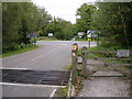
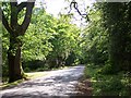

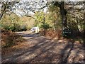
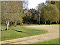

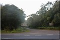


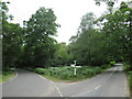
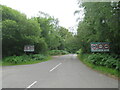
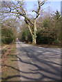
41 photos from this area
Area Information
Key information about the SO40 2LP including its size, population, and administrative classification.
- Area Type
- Postcode
- Area Size
- 81.7 hectares
- Population
- 1584
- Population Density
- 244 people/km²
House Prices in SO40 2LP
37
Properties
£670,094
Average Sold Price
£83,350
Lowest Price
£2,100,000
Highest Price
Showing 37 properties
| Address | Type | Beds | Baths | Last Sale Price | Last Sale Date | |
|---|---|---|---|---|---|---|
| Westward Cottage, Beechwood Road, Bartley, SO40 2LP | Terraced | 2 | 1 | £347,500 | Jan 2024 | |
| Oakapple Cottage, Beechwood Road, Bartley, SO40 2LP | Retail | 5 | - | £2,100,000 | Jan 2022 | |
| Beechwell Cottage, Beechwood Road, Bartley, SO40 2LP | Detached | 3 | 2 | £700,000 | Dec 2019 | |
| Pippins, Beechwood Road, Bartley, SO40 2LP | Bungalow | - | - | £840,000 | May 2017 | |
| Brookfield, Beechwood Road, Bartley, SO40 2LP | Bungalow | - | - | £525,000 | Apr 2012 | |
| Squirrel Gate, Beechwood Road, Bartley, SO40 2LP | house | - | - | £725,000 | Aug 2008 | |
| Little Heath, Beechwood Road, Bartley, SO40 2LP | Detached | - | - | £285,000 | Aug 2006 | |
| Riverside House, Beechwood Road, Bartley, SO40 2LP | Detached | - | - | £425,000 | Aug 2002 | |
| Lime Tree Cottage, Beechwood Road, Bartley, SO40 2LP | house | - | - | £83,350 | Oct 1995 | |
| 5, Beechwood House, Beechwood Road, Bartley, SO40 2LP | Flat | 2 | 2 | - | - |
Page 1 of 4
Energy Efficiency in SO40 2LP
Amenities
Schools
| Rank | School | Type | Entry gender | Ages |
|---|
Explore more schools in this area
Go to Schools tabDemographics
Household Size
Two person
most common
Accommodation Type
Houses
most common
Tenure
88
majority
Ethnic Group
White
most common
Religion
N/A
most common
Household Composition
N/A
most common
Age
47
median
Adults (30-64 years)
most common
Household Deprivation
N/A
with no deprivation
NS-SEC
43
in Lower managerial occupations
Explore more demographic insights in this area
Go to Demographics tabPlanning
Planning Constraints
- Flood RiskPremium
- Ramsar Wetland SitesPremium
- Area of Outstanding Natural BeautyPremium
- Protected Nature ReservePremium
- Protected WoodlandPremium