Area Overview for SO40 2LG
Photos of SO40 2LG
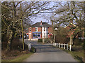
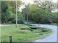

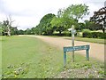
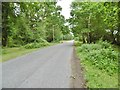


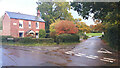
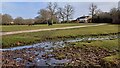
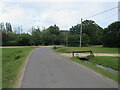
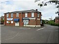
26 photos from this area
Area Information
Key information about the SO40 2LG including its size, population, and administrative classification.
- Area Type
- Postcode
- Area Size
- 2.9 hectares
- Population
- 1126
- Population Density
- 356 people/km²
House Prices in SO40 2LG
25
Properties
£301,357
Average Sold Price
£111,000
Lowest Price
£470,000
Highest Price
Showing 25 properties
| Address | Type | Beds | Baths | Last Sale Price | Last Sale Date | |
|---|---|---|---|---|---|---|
| 11 Pundle Green, Bartley, SO40 2LG | Semi-detached | 3 | 1 | £450,000 | Oct 2025 | |
| 18 Pundle Green, Bartley, SO40 2LG | Semi-detached | 3 | 2 | £470,000 | May 2025 | |
| 22 Pundle Green, Bartley, SO40 2LG | house | - | - | £318,500 | Sep 2023 | |
| 13 Pundle Green, Bartley, SO40 2LG | house | - | - | £325,000 | Sep 2020 | |
| 14 Pundle Green, Bartley, SO40 2LG | house | - | - | £305,000 | Jul 2020 | |
| 4A Pundle Green, Bartley, SO40 2LG | Detached | 4 | 2 | £130,000 | Feb 2009 | |
| 12 Pundle Green, Bartley, SO40 2LG | house | - | - | £111,000 | Jul 2001 | |
| 4B Pundle Green, Bartley, SO40 2LG | house | - | - | - | - | |
| 16 Pundle Green, Bartley, SO40 2LG | house | - | - | - | - | |
| 15 Pundle Green, Bartley, SO40 2LG | house | - | - | - | - |
Page 1 of 3
Energy Efficiency in SO40 2LG
Amenities
Schools
| Rank | School | Type | Entry gender | Ages |
|---|
Explore more schools in this area
Go to Schools tabDemographics
Household Size
Two person
most common
Accommodation Type
Houses
most common
Tenure
84
majority
Ethnic Group
White
most common
Religion
N/A
most common
Household Composition
N/A
most common
Age
47
median
Adults (30-64 years)
most common
Household Deprivation
N/A
with no deprivation
NS-SEC
39
in Lower managerial occupations
Explore more demographic insights in this area
Go to Demographics tabPlanning
Planning Constraints
- Flood RiskPremium
- Ramsar Wetland SitesPremium
- Area of Outstanding Natural BeautyPremium
- Protected Nature ReservePremium
- Protected WoodlandPremium