Area Overview for SO32 2PL
Photos of SO32 2PL
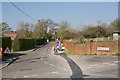
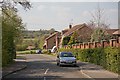
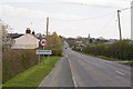
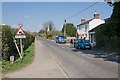
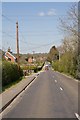
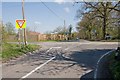
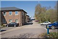


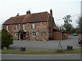
35 photos from this area
Area Information
Key information about the SO32 2PL including its size, population, and administrative classification.
- Area Type
- Postcode
- Area Size
- 43.8 hectares
- Population
- 1760
- Population Density
- 1013 people/km²
House Prices in SO32 2PL
34
Properties
£506,091
Average Sold Price
£91,000
Lowest Price
£950,000
Highest Price
Showing 34 properties
| Address | Type | Beds | Baths | Last Sale Price | Last Sale Date | |
|---|---|---|---|---|---|---|
| Pine Croft, Forest Road, Swanmore, SO32 2PL | Bungalow | 4 | 3 | £950,000 | Aug 2025 | |
| Hope Cottage, Forest Road, Swanmore, SO32 2PL | Detached | 3 | 1 | £570,000 | Jul 2017 | |
| Hill View Cottage, Forest Road, Swanmore, SO32 2PL | house | 4 | 2 | £551,372 | Mar 2016 | |
| Ardoch House, Forest Road, Swanmore, SO32 2PL | Detached | 4 | - | £610,000 | Jul 2015 | |
| The Firs, Forest Road, Swanmore, SO32 2PL | Detached | 4 | - | £650,000 | Apr 2014 | |
| Forest Lodge, Forest Road, Swanmore, SO32 2PL | house | 4 | - | £565,000 | Jul 2013 | |
| Cantella, Forest Road, Swanmore, SO32 2PL | house | - | - | £395,000 | Feb 2011 | |
| Buckenham Farmhouse, Forest Road, Swanmore, SO32 2PL | Semi-detached | 4 | 3 | £590,000 | Dec 2008 | |
| Beaulieu, Forest Road, Swanmore, SO32 2PL | Detached | 5 | 6 | £890,000 | Feb 2008 | |
| Ashton House, Forest Road, Swanmore, SO32 2PL | Semi-detached | - | - | £345,000 | Dec 2006 |
Page 1 of 4
Energy Efficiency in SO32 2PL
Amenities
Schools
| Rank | School | Type | Entry gender | Ages |
|---|
Explore more schools in this area
Go to Schools tabDemographics
Household Size
Family (3-5 people)
most common
Accommodation Type
Houses
most common
Tenure
86
majority
Ethnic Group
White
most common
Religion
N/A
most common
Household Composition
N/A
most common
Age
47
median
Adults (30-64 years)
most common
Household Deprivation
N/A
with no deprivation
NS-SEC
54
in Lower managerial occupations
Explore more demographic insights in this area
Go to Demographics tabPlanning
Planning Constraints
- Flood RiskPremium
- Ramsar Wetland SitesPremium
- Area of Outstanding Natural BeautyPremium
- Protected Nature ReservePremium
- Protected WoodlandPremium