Area Overview for SO32 2NJ
Photos of SO32 2NJ
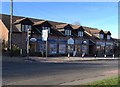
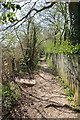
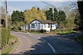
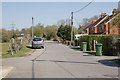
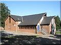
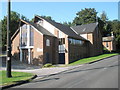
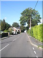
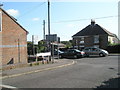
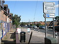
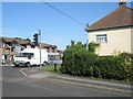
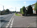
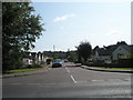
49 photos from this area
Area Information
Key information about the SO32 2NJ including its size, population, and administrative classification.
- Area Type
- Postcode
- Area Size
- 8899 m²
- Population
- 1594
- Population Density
- 1485 people/km²
House Prices in SO32 2NJ
24
Properties
£257,200
Average Sold Price
£78,000
Lowest Price
£400,000
Highest Price
Showing 24 properties
| Address | Type | Beds | Baths | Last Sale Price | Last Sale Date | |
|---|---|---|---|---|---|---|
| 36 Meadow Gardens, Waltham Chase, SO32 2NJ | Detached | 3 | 1 | £358,000 | Sep 2025 | |
| 29 Meadow Gardens, Waltham Chase, SO32 2NJ | Semi-detached | 4 | 1 | £389,500 | Mar 2025 | |
| 26 Meadow Gardens, Waltham Chase, SO32 2NJ | house | 3 | 1 | £370,000 | Jul 2022 | |
| 24 Meadow Gardens, Waltham Chase, SO32 2NJ | house | 3 | - | £400,000 | Nov 2021 | |
| 40 Meadow Gardens, Waltham Chase, SO32 2NJ | house | - | - | £292,500 | Feb 2019 | |
| 16 Meadow Gardens, Waltham Chase, SO32 2NJ | Semi-detached | 4 | - | £306,000 | Oct 2016 | |
| 34 Meadow Gardens, Waltham Chase, SO32 2NJ | Semi-detached | 3 | 1 | £240,000 | Oct 2014 | |
| 20 Meadow Gardens, Waltham Chase, SO32 2NJ | house | 3 | - | £205,000 | Dec 2012 | |
| 14 Meadow Gardens, Waltham Chase, SO32 2NJ | Semi-detached | 4 | 1 | £247,500 | Dec 2011 | |
| 28 Meadow Gardens, Waltham Chase, SO32 2NJ | house | 3 | - | £205,000 | Sep 2011 |
Page 1 of 3
Energy Efficiency in SO32 2NJ
Amenities
Schools
| Rank | School | Type | Entry gender | Ages |
|---|
Explore more schools in this area
Go to Schools tabDemographics
Household Size
Two person
most common
Accommodation Type
Houses
most common
Tenure
83
majority
Ethnic Group
White
most common
Religion
N/A
most common
Household Composition
N/A
most common
Age
47
median
Adults (30-64 years)
most common
Household Deprivation
N/A
with no deprivation
NS-SEC
43
in Lower managerial occupations
Explore more demographic insights in this area
Go to Demographics tabPlanning
Planning Constraints
- Flood RiskPremium
- Ramsar Wetland SitesPremium
- Area of Outstanding Natural BeautyPremium
- Protected Nature ReservePremium
- Protected WoodlandPremium