Area Overview for SO32 2JW
Photos of SO32 2JW
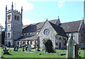
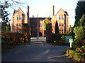
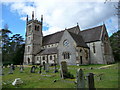
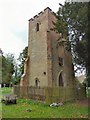
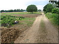
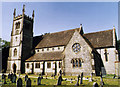
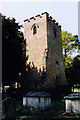
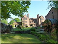
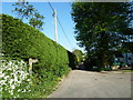
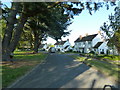
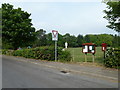
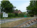
66 photos from this area
Area Information
Key information about the SO32 2JW including its size, population, and administrative classification.
- Area Type
- Postcode
- Area Size
- 42.5 hectares
- Population
- 1270
- Population Density
- 188 people/km²
House Prices in SO32 2JW
33
Properties
£873,333
Average Sold Price
£750,000
Lowest Price
£1,250,000
Highest Price
Showing 33 properties
| Address | Type | Beds | Baths | Last Sale Price | Last Sale Date | |
|---|---|---|---|---|---|---|
| The Dale, Pricketts Hill, Shedfield, SO32 2JW | house | - | - | £750,000 | Jun 2024 | |
| Pricketts Cottage, Pricketts Hill, Shedfield, SO32 2JW | house | 5 | 3 | £840,000 | Aug 2023 | |
| Barley Mow, Pricketts Hill, Shedfield, SO32 2JW | house | - | - | £1,250,000 | Jul 2021 | |
| Shirrell Heights, Pricketts Hill, Shedfield, SO32 2JW | Detached | 5 | 3 | £850,000 | Nov 2020 | |
| Garden House, Pricketts Hill, Shedfield, SO32 2JW | Detached | 4 | 2 | £785,000 | Apr 2019 | |
| Holly Lodge, Pricketts Hill, Shedfield, SO32 2JW | house | 5 | - | £765,000 | May 2011 | |
| WESTLANDS FARM, PRICKETTS HILL, Shedfield, SO32 2JW | Bungalow | - | - | - | - | |
| Roseview, Pricketts Hill, Shedfield, SO32 2JW | Mobile Home | - | - | - | - | |
| Cloverfield Farm, Pricketts Hill, Shedfield, SO32 2JW | Other | - | - | - | - | |
| Green Acre, Pricketts Hill, Shedfield, SO32 2JW | Detached | - | - | - | - |
Page 1 of 4
Energy Efficiency in SO32 2JW
Amenities
Schools
| Rank | School | Type | Entry gender | Ages |
|---|
Explore more schools in this area
Go to Schools tabDemographics
Household Size
Two person
most common
Accommodation Type
Houses
most common
Tenure
74
majority
Ethnic Group
White
most common
Religion
N/A
most common
Household Composition
N/A
most common
Age
47
median
Adults (30-64 years)
most common
Household Deprivation
N/A
with no deprivation
NS-SEC
41
in Lower managerial occupations
Explore more demographic insights in this area
Go to Demographics tabPlanning
Planning Constraints
- Flood RiskPremium
- Ramsar Wetland SitesPremium
- Area of Outstanding Natural BeautyPremium
- Protected Nature ReservePremium
- Protected WoodlandPremium