Area Overview for SO32 1SB
Photos of SO32 1SB
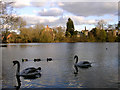
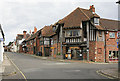
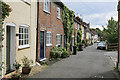
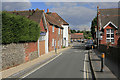
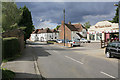
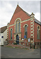
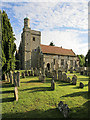
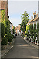
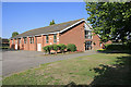
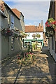
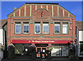
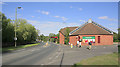
100 photos from this area
Area Information
Key information about the SO32 1SB including its size, population, and administrative classification.
- Area Type
- Postcode
- Area Size
- 3.4 hectares
- Population
- 1861
- Population Density
- 526 people/km²
House Prices in SO32 1SB
8
Properties
£297,850
Average Sold Price
£117,500
Lowest Price
£360,000
Highest Price
Showing 8 properties
| Address | Type | Beds | Baths | Last Sale Price | Last Sale Date | |
|---|---|---|---|---|---|---|
| 3, Palace Mews, Winchester Road, Bishops Waltham, SO32 1SB | Terraced | 3 | 1 | £357,500 | Oct 2025 | |
| 5, Palace Mews, Winchester Road, Bishops Waltham, SO32 1SB | Terraced | 3 | 2 | £350,000 | Jul 2022 | |
| 2, Palace Mews, Winchester Road, Bishops Waltham, SO32 1SB | house | - | - | £360,000 | Jun 2021 | |
| 8, Palace Mews, Winchester Road, Bishops Waltham, SO32 1SB | Semi-detached | 3 | 1 | £349,950 | Nov 2007 | |
| 1, Palace Mews, Winchester Road, Bishops Waltham, SO32 1SB | Terraced | - | - | £325,000 | Jun 2006 | |
| 4, Palace Mews, Winchester Road, Bishops Waltham, SO32 1SB | Terraced | - | - | £225,000 | May 2003 | |
| 6, Palace Mews, Winchester Road, Bishops Waltham, SO32 1SB | Terraced | - | - | £117,500 | Dec 2000 | |
| 7, Palace Mews, Winchester Road, Bishops Waltham, SO32 1SB | Terraced | - | - | - | - |
Energy Efficiency in SO32 1SB
Amenities
Schools
| Rank | School | Type | Entry gender | Ages |
|---|
Explore more schools in this area
Go to Schools tabDemographics
Household Size
One person
most common
Accommodation Type
Houses
most common
Tenure
66
majority
Ethnic Group
White
most common
Religion
N/A
most common
Household Composition
N/A
most common
Age
47
median
Adults (30-64 years)
most common
Household Deprivation
N/A
with no deprivation
NS-SEC
40
in Lower managerial occupations
Explore more demographic insights in this area
Go to Demographics tabPlanning
Planning Constraints
- Flood RiskPremium
- Ramsar Wetland SitesPremium
- Area of Outstanding Natural BeautyPremium
- Protected Nature ReservePremium
- Protected WoodlandPremium