Area Overview for SO32 1JJ
Photos of SO32 1JJ
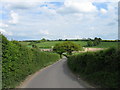
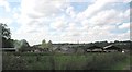
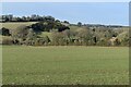
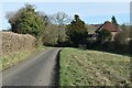
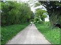
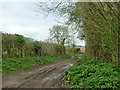
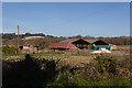
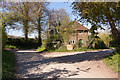
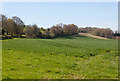
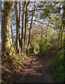
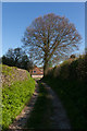
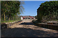
17 photos from this area
Area Information
Key information about the SO32 1JJ including its size, population, and administrative classification.
- Area Type
- Postcode
- Area Size
- 43.3 hectares
- Population
- 1628
- Population Density
- 44 people/km²
House Prices in SO32 1JJ
17
Properties
£727,444
Average Sold Price
£110,000
Lowest Price
£2,275,000
Highest Price
Showing 17 properties
| Address | Type | Beds | Baths | Last Sale Price | Last Sale Date | |
|---|---|---|---|---|---|---|
| The Old Barn, Shoe Lane, Upham, SO32 1JJ | Detached | 6 | 3 | £1,600,000 | Nov 2023 | |
| Barnfield House, Whitehill, Upham, SO32 1JJ | house | - | - | £847,000 | Dec 2022 | |
| Sunny Brae, Shoe Lane, Upham, SO32 1JJ | Detached | 3 | - | £413,000 | Aug 2012 | |
| 1 Shoe Lane, Upham, SO32 1JJ | Semi-detached | 3 | - | £405,000 | Jul 2011 | |
| Gilbert Cottage, Shoe Lane, Upham, SO32 1JJ | house | 2 | - | £407,000 | Sep 2010 | |
| Church Height, Shoe Lane, Upham, SO32 1JJ | Detached | - | - | £2,275,000 | Sep 2009 | |
| 1-2, Rays Farmhouse, Shoe Lane, Upham, SO32 1JJ | Semi-detached | - | - | £265,000 | Jul 2004 | |
| Brush Cottage, Shoe Lane, Upham, SO32 1JJ | Detached | 2 | 1 | £110,000 | Aug 2000 | |
| Glebe Cottage, Shoe Lane, Upham, SO32 1JJ | house | - | - | £225,000 | Aug 1997 | |
| Farthing Cottages, Shoe Lane, Upham, SO32 1JJ | Detached | 4 | 1 | - | - |
Page 1 of 2
Energy Efficiency in SO32 1JJ
Amenities
Schools
| Rank | School | Type | Entry gender | Ages |
|---|
Explore more schools in this area
Go to Schools tabDemographics
Household Size
Two person
most common
Accommodation Type
Houses
most common
Tenure
75
majority
Ethnic Group
White
most common
Religion
N/A
most common
Household Composition
N/A
most common
Age
47
median
Adults (30-64 years)
most common
Household Deprivation
N/A
with no deprivation
NS-SEC
47
in Lower managerial occupations
Explore more demographic insights in this area
Go to Demographics tabPlanning
Planning Constraints
- Flood RiskPremium
- Ramsar Wetland SitesPremium
- Area of Outstanding Natural BeautyPremium
- Protected Nature ReservePremium
- Protected WoodlandPremium