Area Overview for SO31 9HE
Photos of SO31 9HE
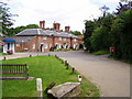
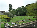
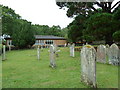
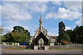
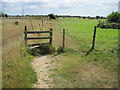
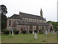
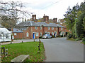
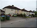
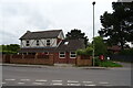
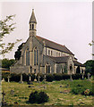
42 photos from this area
Area Information
Key information about the SO31 9HE including its size, population, and administrative classification.
- Area Type
- Postcode
- Area Size
- 62.1 hectares
- Population
- 1597
- Population Density
- 283 people/km²
House Prices in SO31 9HE
15
Properties
£1,009,286
Average Sold Price
£320,000
Lowest Price
£2,660,000
Highest Price
Showing 15 properties
| Address | Type | Beds | Baths | Last Sale Price | Last Sale Date | |
|---|---|---|---|---|---|---|
| Mellows, Hook Park Road, Warsash, SO31 9HE | house | - | - | £2,660,000 | Apr 2022 | |
| Hazel Cottage, Hook Park Road, Warsash, SO31 9HE | house | - | - | £1,600,000 | Oct 2021 | |
| Moorlands, Hook Park Road, Warsash, SO31 9HE | Bungalow | 3 | 1 | £700,000 | May 2016 | |
| Little Hook, Hook Park Road, Warsash, SO31 9HE | house | - | - | £775,000 | Dec 2015 | |
| Keepers Cottage, Hook Park Road, Warsash, SO31 9HE | house | - | - | £660,000 | Oct 2014 | |
| 1, Hook Farm Cottages, Hook Park Road, Warsash, SO31 9HE | Semi-detached | 3 | 2 | £320,000 | Dec 2011 | |
| Meadow View, Hook Park Road, Warsash, SO31 9HE | house | 5 | - | £350,000 | Feb 2009 | |
| Francliffe, Hook Park Road, Warsash, SO31 9HE | Detached | 5 | 6 | - | - | |
| 2, Hook Farm Cottages, Hook Park Road, Warsash, SO31 9HE | Detached | 3 | 2 | - | - | |
| Annexe, Little Hook, Hook Park Road, Warsash, SO31 9HE | Flat | 6 | - | - | - |
Page 1 of 2
Energy Efficiency in SO31 9HE
Amenities
Schools
| Rank | School | Type | Entry gender | Ages |
|---|
Explore more schools in this area
Go to Schools tabDemographics
Household Size
Two person
most common
Accommodation Type
Houses
most common
Tenure
81
majority
Ethnic Group
White
most common
Religion
N/A
most common
Household Composition
N/A
most common
Age
47
median
Adults (30-64 years)
most common
Household Deprivation
N/A
with no deprivation
NS-SEC
40
in Lower managerial occupations
Explore more demographic insights in this area
Go to Demographics tabPlanning
Planning Constraints
- Flood RiskPremium
- Ramsar Wetland SitesPremium
- Area of Outstanding Natural BeautyPremium
- Protected Nature ReservePremium
- Protected WoodlandPremium