Area Overview for SO31 9FD
Photos of SO31 9FD
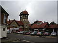

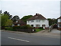
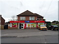
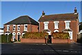
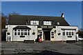

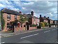
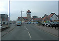
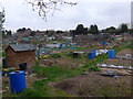
34 photos from this area
Area Information
Key information about the SO31 9FD including its size, population, and administrative classification.
- Area Type
- Postcode
- Area Size
- 5.5 hectares
- Population
- 1940
- Population Density
- 1255 people/km²
House Prices in SO31 9FD
23
Properties
£475,153
Average Sold Price
£45,000
Lowest Price
£1,500,000
Highest Price
Showing 23 properties
| Address | Type | Beds | Baths | Last Sale Price | Last Sale Date | |
|---|---|---|---|---|---|---|
| 96 Brook Lane, Warsash, SO31 9FD | Detached | 4 | 2 | £545,000 | Oct 2024 | |
| 110 Brook Lane, Warsash, SO31 9FD | Bungalow | - | - | £415,000 | Aug 2024 | |
| 92 Brook Lane, Warsash, SO31 9FD | Bungalow | 4 | 1 | £509,500 | Aug 2024 | |
| 112 Brook Lane, Warsash, SO31 9FD | Semi-detached | 4 | 2 | £547,600 | Sep 2023 | |
| 100 Brook Lane, Warsash, SO31 9FD | house | - | - | £440,000 | Oct 2022 | |
| Lunar Star, 120 Brook Lane, Warsash, SO31 9FD | Detached | 4 | 3 | £1,500,000 | Nov 2021 | |
| 108 Brook Lane, Warsash, SO31 9FD | house | - | - | £745,000 | Jul 2020 | |
| 82 Brook Lane, Warsash, SO31 9FD | Bungalow | 2 | 1 | £445,000 | Jan 2020 | |
| 88 Brook Lane, Warsash, SO31 9FD | Detached | 4 | 3 | £980,000 | Jun 2019 | |
| 76 Brook Lane, Warsash, SO31 9FD | Detached | 3 | - | £370,000 | Oct 2012 |
Page 1 of 3
Energy Efficiency in SO31 9FD
Amenities
Schools
| Rank | School | Type | Entry gender | Ages |
|---|
Explore more schools in this area
Go to Schools tabDemographics
Household Size
Two person
most common
Accommodation Type
Houses
most common
Tenure
88
majority
Ethnic Group
White
most common
Religion
N/A
most common
Household Composition
N/A
most common
Age
47
median
Adults (30-64 years)
most common
Household Deprivation
N/A
with no deprivation
NS-SEC
50
in Lower managerial occupations
Explore more demographic insights in this area
Go to Demographics tabPlanning
Planning Constraints
- Flood RiskPremium
- Ramsar Wetland SitesPremium
- Area of Outstanding Natural BeautyPremium
- Protected Nature ReservePremium
- Protected WoodlandPremium