Area Overview for SO31 4HU
Photos of SO31 4HU

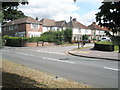
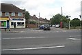
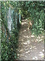
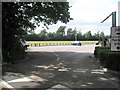
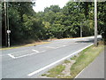
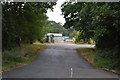
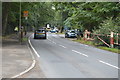
77 photos from this area
Area Information
Key information about the SO31 4HU including its size, population, and administrative classification.
- Area Type
- Postcode
- Area Size
- 48.6 hectares
- Population
- 1884
- Population Density
- 1671 people/km²
House Prices in SO31 4HU
13
Properties
£284,000
Average Sold Price
£60,000
Lowest Price
£535,000
Highest Price
Showing 13 properties
| Address | Type | Beds | Baths | Last Sale Price | Last Sale Date | |
|---|---|---|---|---|---|---|
| 104 Hamble Lane, Hamble Le Rice, SO31 4HU | Detached | 4 | 2 | £535,000 | Nov 2019 | |
| 106 Hamble Lane, Hamble Le Rice, SO31 4HU | Detached | 4 | 1 | £415,000 | Jun 2017 | |
| 88 Hamble Lane, Hamble Le Rice, SO31 4HU | house | - | - | £250,000 | Oct 2014 | |
| 96 Hamble Lane, Hamble Le Rice, SO31 4HU | house | - | - | £224,000 | Nov 2009 | |
| 90 Hamble Lane, Hamble Le Rice, SO31 4HU | Semi-detached | - | - | £220,000 | Jun 2004 | |
| 84 Hamble Lane, Hamble Le Rice, SO31 4HU | Detached | 4 | 1 | £60,000 | Jun 1997 | |
| 98 Hamble Lane, Hamble Le Rice, SO31 4HU | Semi-detached | 3 | 2 | - | - | |
| 94 Hamble Lane, Hamble Le Rice, SO31 4HU | Semi-detached | 3 | 1 | - | - | |
| 108 Hamble Lane, Hamble Le Rice, SO31 4HU | house | 3 | 1 | - | - | |
| 100 Hamble Lane, Hamble Le Rice, SO31 4HU | Semi-detached | - | - | - | - |
Page 1 of 2
Energy Efficiency in SO31 4HU
Amenities
Schools
| Rank | School | Type | Entry gender | Ages |
|---|
Explore more schools in this area
Go to Schools tabDemographics
Household Size
Family (3-5 people)
most common
Accommodation Type
Houses
most common
Tenure
55
majority
Ethnic Group
White
most common
Religion
N/A
most common
Household Composition
N/A
most common
Age
47
median
Adults (30-64 years)
most common
Household Deprivation
N/A
with no deprivation
NS-SEC
31
in Lower managerial occupations
Explore more demographic insights in this area
Go to Demographics tabPlanning
Planning Constraints
- Flood RiskPremium
- Ramsar Wetland SitesPremium
- Area of Outstanding Natural BeautyPremium
- Protected Nature ReservePremium
- Protected WoodlandPremium