Area Overview for SO31 1ET
Photos of SO31 1ET
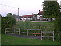
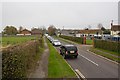
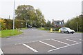
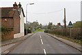
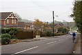
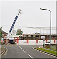

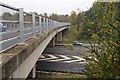
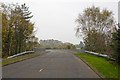

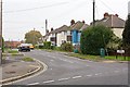
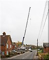
44 photos from this area
Area Information
Key information about the SO31 1ET including its size, population, and administrative classification.
- Area Type
- Postcode
- Area Size
- 1.8 hectares
- Population
- 2742
- Population Density
- 984 people/km²
House Prices in SO31 1ET
30
Properties
£414,931
Average Sold Price
£275,000
Lowest Price
£538,000
Highest Price
Showing 30 properties
| Address | Type | Beds | Baths | Last Sale Price | Last Sale Date | |
|---|---|---|---|---|---|---|
| 20 Fosters Copse, Bursledon, SO31 1ET | Terraced | 3 | 1 | £305,000 | Sep 2024 | |
| 3 Fosters Copse, Bursledon, SO31 1ET | Detached | 5 | 1 | £525,000 | Jul 2024 | |
| 27 Fosters Copse, Bursledon, SO31 1ET | Detached | 4 | 2 | £460,000 | Dec 2023 | |
| 1 Fosters Copse, Bursledon, SO31 1ET | Detached | 5 | 3 | £538,000 | Jul 2023 | |
| 2 Fosters Copse, Bursledon, SO31 1ET | Detached | 5 | 3 | £530,000 | Oct 2022 | |
| 30 Fosters Copse, Bursledon, SO31 1ET | house | - | - | £375,995 | Dec 2018 | |
| 29 Fosters Copse, Bursledon, SO31 1ET | house | - | - | £365,000 | Nov 2018 | |
| 4 Fosters Copse, Bursledon, SO31 1ET | house | - | - | £499,995 | Oct 2018 | |
| 26 Fosters Copse, Bursledon, SO31 1ET | Detached | 4 | 2 | £419,995 | Sep 2018 | |
| 28 Fosters Copse, Bursledon, SO31 1ET | Detached | 4 | 2 | £419,995 | Aug 2018 |
Page 1 of 3
Energy Efficiency in SO31 1ET
Amenities
Schools
| Rank | School | Type | Entry gender | Ages |
|---|
Explore more schools in this area
Go to Schools tabDemographics
Household Size
Two person
most common
Accommodation Type
Houses
most common
Tenure
73
majority
Ethnic Group
White
most common
Religion
N/A
most common
Household Composition
N/A
most common
Age
47
median
Adults (30-64 years)
most common
Household Deprivation
N/A
with no deprivation
NS-SEC
44
in Lower managerial occupations
Explore more demographic insights in this area
Go to Demographics tabPlanning
Planning Constraints
- Flood RiskPremium
- Ramsar Wetland SitesPremium
- Area of Outstanding Natural BeautyPremium
- Protected Nature ReservePremium
- Protected WoodlandPremium