Area Overview for SO31 1BQ
Photos of SO31 1BQ
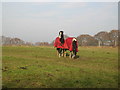
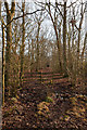
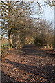
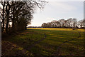
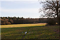
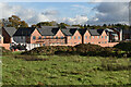
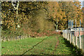
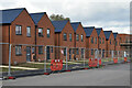
30 photos from this area
Area Information
Key information about the SO31 1BQ including its size, population, and administrative classification.
- Area Type
- Postcode
- Area Size
- 10.4 hectares
- Population
- 2532
- Population Density
- 1790 people/km²
House Prices in SO31 1BQ
39
Properties
£591,036
Average Sold Price
£147,000
Lowest Price
£1,300,000
Highest Price
Showing 39 properties
| Address | Type | Beds | Baths | Last Sale Price | Last Sale Date | |
|---|---|---|---|---|---|---|
| 284 Botley Road, Burridge, SO31 1BQ | Retail | 4 | 2 | £772,000 | May 2022 | |
| 306 Botley Road, Burridge, SO31 1BQ | Detached | 5 | - | £800,000 | May 2019 | |
| 286 Botley Road, Burridge, SO31 1BQ | house | 5 | - | £1,300,000 | Sep 2018 | |
| 272 Botley Road, Burridge, SO31 1BQ | house | - | - | £575,000 | Nov 2016 | |
| 288 Botley Road, Burridge, SO31 1BQ | Bungalow | 4 | - | £445,000 | Feb 2015 | |
| 296A Botley Road, Burridge, SO31 1BQ | Land | 4 | 4 | £435,000 | Apr 2014 | |
| 274 Botley Road, Burridge, SO31 1BQ | Detached | 4 | - | £480,000 | Apr 2014 | |
| 300 Botley Road, Burridge, SO31 1BQ | Bungalow | 3 | - | £476,000 | Jan 2013 | |
| 270 Botley Road, Burridge, SO31 1BQ | Detached | - | - | £589,500 | Nov 2012 | |
| 276 Botley Road, Burridge, SO31 1BQ | Detached | - | - | £645,000 | Aug 2005 |
Page 1 of 4
Energy Efficiency in SO31 1BQ
Amenities
Schools
| Rank | School | Type | Entry gender | Ages |
|---|
Explore more schools in this area
Go to Schools tabDemographics
Household Size
Family (3-5 people)
most common
Accommodation Type
Houses
most common
Tenure
80
majority
Ethnic Group
White
most common
Religion
N/A
most common
Household Composition
N/A
most common
Age
47
median
Adults (30-64 years)
most common
Household Deprivation
N/A
with no deprivation
NS-SEC
52
in Lower managerial occupations
Explore more demographic insights in this area
Go to Demographics tabPlanning
Planning Constraints
- Flood RiskPremium
- Ramsar Wetland SitesPremium
- Area of Outstanding Natural BeautyPremium
- Protected Nature ReservePremium
- Protected WoodlandPremium