Area Overview for SO30 2UJ
Photos of SO30 2UJ
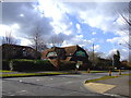
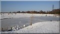
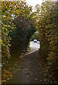
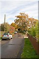
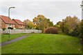
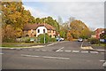

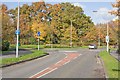
71 photos from this area
Area Information
Key information about the SO30 2UJ including its size, population, and administrative classification.
- Area Type
- Postcode
- Area Size
- 1.1 hectares
- Population
- 1502
- Population Density
- 5790 people/km²
House Prices in SO30 2UJ
28
Properties
£252,324
Average Sold Price
£57,000
Lowest Price
£420,000
Highest Price
Showing 28 properties
| Address | Type | Beds | Baths | Last Sale Price | Last Sale Date | |
|---|---|---|---|---|---|---|
| 11 Malvern Gardens, Hedge End, SO30 2UJ | Detached | 3 | 2 | £400,500 | Jul 2025 | |
| 23 Malvern Gardens, Hedge End, SO30 2UJ | Terraced | 4 | 2 | £420,000 | Feb 2024 | |
| 21 Malvern Gardens, Hedge End, SO30 2UJ | house | - | - | £370,000 | Sep 2023 | |
| 17 Malvern Gardens, Hedge End, SO30 2UJ | house | - | - | £285,000 | Sep 2021 | |
| 22 Malvern Gardens, Hedge End, SO30 2UJ | house | - | - | £339,000 | Oct 2020 | |
| 16 Malvern Gardens, Hedge End, SO30 2UJ | house | - | - | £420,000 | Oct 2020 | |
| 9 Malvern Gardens, Hedge End, SO30 2UJ | house | - | - | £330,000 | Aug 2019 | |
| 6 Malvern Gardens, Hedge End, SO30 2UJ | house | - | - | £295,000 | Jan 2018 | |
| 19 Malvern Gardens, Hedge End, SO30 2UJ | Terraced | - | - | £222,500 | Sep 2016 | |
| 20 Malvern Gardens, Hedge End, SO30 2UJ | Terraced | 2 | - | £210,000 | Oct 2015 |
Page 1 of 3
Energy Efficiency in SO30 2UJ
Amenities
Schools
| Rank | School | Type | Entry gender | Ages |
|---|
Explore more schools in this area
Go to Schools tabDemographics
Household Size
Family (3-5 people)
most common
Accommodation Type
Houses
most common
Tenure
78
majority
Ethnic Group
White
most common
Religion
N/A
most common
Household Composition
N/A
most common
Age
47
median
Adults (30-64 years)
most common
Household Deprivation
N/A
with no deprivation
NS-SEC
45
in Lower managerial occupations
Explore more demographic insights in this area
Go to Demographics tabPlanning
Planning Constraints
- Flood RiskPremium
- Ramsar Wetland SitesPremium
- Area of Outstanding Natural BeautyPremium
- Protected Nature ReservePremium
- Protected WoodlandPremium