Area Overview for SO30 2LN
Photos of SO30 2LN
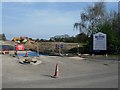

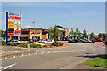
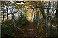

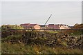
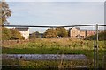
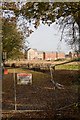
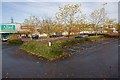
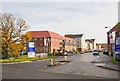
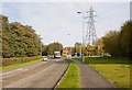
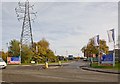
59 photos from this area
Area Information
Key information about the SO30 2LN including its size, population, and administrative classification.
- Area Type
- Postcode
- Area Size
- 2.6 hectares
- Population
- 1487
- Population Density
- 7457 people/km²
House Prices in SO30 2LN
77
Properties
£226,681
Average Sold Price
£1,175
Lowest Price
£525,000
Highest Price
Showing 77 properties
| Address | Type | Beds | Baths | Last Sale Price | Last Sale Date | |
|---|---|---|---|---|---|---|
| 9 Hansen Gardens, Hedge End, SO30 2LN | house | 3 | 2 | £305,000 | Nov 2025 | |
| 4 Hansen Gardens, Hedge End, SO30 2LN | Terraced | 3 | 2 | £320,000 | Jul 2025 | |
| 61 Hansen Gardens, Hedge End, SO30 2LN | Semi-detached | 5 | 4 | £475,000 | May 2025 | |
| 15 Hansen Gardens, Hedge End, SO30 2LN | Terraced | 3 | - | £300,000 | Jun 2024 | |
| 59 Hansen Gardens, Hedge End, SO30 2LN | house | 5 | 5 | £525,000 | Aug 2022 | |
| 30 Hansen Gardens, Hedge End, SO30 2LN | Terraced | 3 | 2 | £315,000 | Jul 2022 | |
| 28 Hansen Gardens, Hedge End, SO30 2LN | house | - | - | £302,000 | Mar 2022 | |
| 6 Hansen Gardens, Hedge End, SO30 2LN | house | - | - | £270,000 | Apr 2021 | |
| 49 Hansen Gardens, Hedge End, SO30 2LN | Detached | 5 | - | £442,000 | Mar 2021 | |
| 33 Hansen Gardens, Hedge End, SO30 2LN | house | 4 | 2 | £310,000 | Feb 2021 |
Page 1 of 8
Energy Efficiency in SO30 2LN
Amenities
Schools
| Rank | School | Type | Entry gender | Ages |
|---|
Explore more schools in this area
Go to Schools tabDemographics
Household Size
Family (3-5 people)
most common
Accommodation Type
Houses
most common
Tenure
54
majority
Ethnic Group
White
most common
Religion
N/A
most common
Household Composition
N/A
most common
Age
47
median
Adults (30-64 years)
most common
Household Deprivation
N/A
with no deprivation
NS-SEC
45
in Lower managerial occupations
Explore more demographic insights in this area
Go to Demographics tabPlanning
Planning Constraints
- Flood RiskPremium
- Ramsar Wetland SitesPremium
- Area of Outstanding Natural BeautyPremium
- Protected Nature ReservePremium
- Protected WoodlandPremium