Area Overview for SO22 6NN
Photos of SO22 6NN
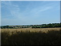

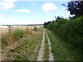
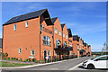
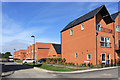
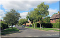
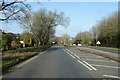
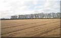
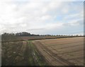
22 photos from this area
Area Information
Key information about the SO22 6NN including its size, population, and administrative classification.
- Area Type
- Postcode
- Area Size
- 2.8 hectares
- Population
- 2200
- Population Density
- 2814 people/km²
House Prices in SO22 6NN
19
Properties
£565,029
Average Sold Price
£165,000
Lowest Price
£1,000,000
Highest Price
Showing 19 properties
| Address | Type | Beds | Baths | Last Sale Price | Last Sale Date | |
|---|---|---|---|---|---|---|
| 4 Andover Road North, Winchester, SO22 6NN | Terraced | 2 | 1 | £1,000,000 | Apr 2023 | |
| Oakleigh, 12 Andover Road North, Winchester, SO22 6NN | Detached | 4 | 2 | £823,350 | Apr 2019 | |
| Mulberry Cottage, 16 Andover Road North, Winchester, SO22 6NN | Detached | 3 | - | £675,000 | Feb 2014 | |
| The Hollies, 2 Andover Road North, Winchester, SO22 6NN | Terraced | 2 | 1 | £825,000 | Nov 2013 | |
| 17 Andover Road North, Winchester, SO22 6NN | Terraced | 5 | - | £679,000 | Jan 2013 | |
| Araucaria, 3A Andover Road North, Winchester, SO22 6NN | Detached | 3 | - | £580,000 | Dec 2012 | |
| Wyngarth, 9 Andover Road North, Winchester, SO22 6NN | Detached | 6 | 3 | £560,000 | Nov 2009 | |
| Fermain, 5 Andover Road North, Winchester, SO22 6NN | house | - | - | £402,500 | Mar 2007 | |
| Franlyn, 13 Andover Road North, Winchester, SO22 6NN | Detached | - | - | £410,000 | May 2006 | |
| Greenlands, 6 Andover Road North, Winchester, SO22 6NN | house | - | - | £467,500 | Aug 2005 |
Page 1 of 2
Energy Efficiency in SO22 6NN
Amenities
Schools
| Rank | School | Type | Entry gender | Ages |
|---|
Explore more schools in this area
Go to Schools tabDemographics
Household Size
Family (3-5 people)
most common
Accommodation Type
Houses
most common
Tenure
77
majority
Ethnic Group
White
most common
Religion
N/A
most common
Household Composition
N/A
most common
Age
47
median
Adults (30-64 years)
most common
Household Deprivation
N/A
with no deprivation
NS-SEC
46
in Lower managerial occupations
Explore more demographic insights in this area
Go to Demographics tabPlanning
Planning Constraints
- Flood RiskPremium
- Ramsar Wetland SitesPremium
- Area of Outstanding Natural BeautyPremium
- Protected Nature ReservePremium
- Protected WoodlandPremium